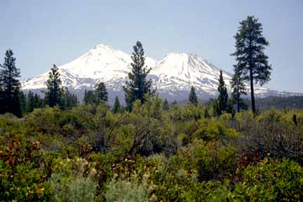
Another view of Mt. Shasta. Photo by Jenn Adleman.
Another view of Mt. Shasta. Photo by Jenn Adleman.
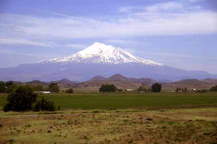
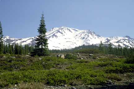
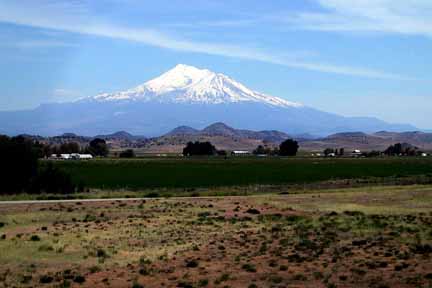
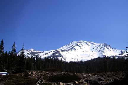
And yet another view of Mt. Shasta. Photo by Jenn Adleman.
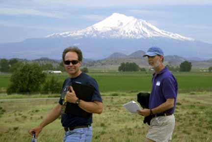
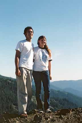
Steve and Patrick. Photo by Jenn Adleman.
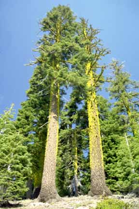
Red fir at trailhead to Horse Camp. Photo by Jenn Adleman.
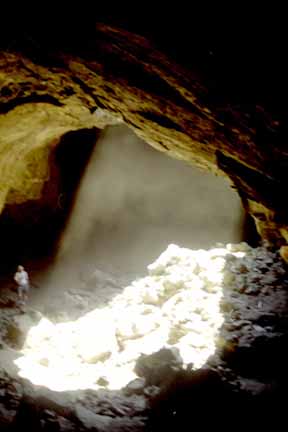
Skylight in Pluto Cave. Photo by Jenn Adleman.
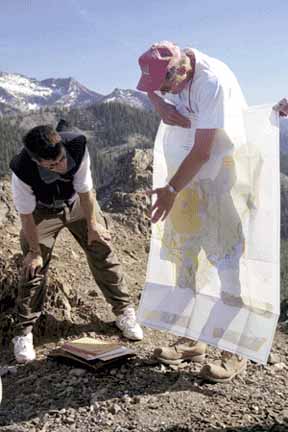
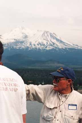
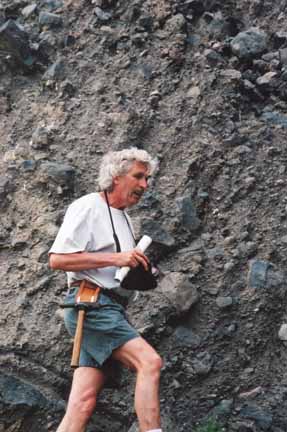
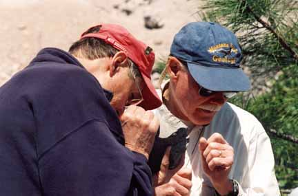
Gary Ernst and Jed with geologic map of the Sawyers Bar area. Photo by Jenn Adleman.
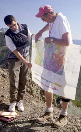
Gary Ernst and Jed with geologic map of the Sawyers Bar area. Photo by Jenn Adleman.
Chris at first camp site. Photo by Bob Rorden.
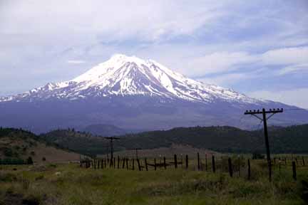
Mount Shasta from Stop 7. Photo by Bob Rorden.
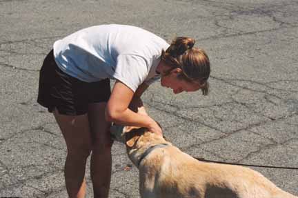
Kate and Callie. Photo by Mike Diggles.

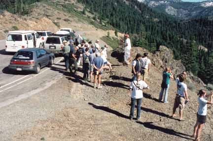
Vehicle lineup. Photo by Mike Diggles.
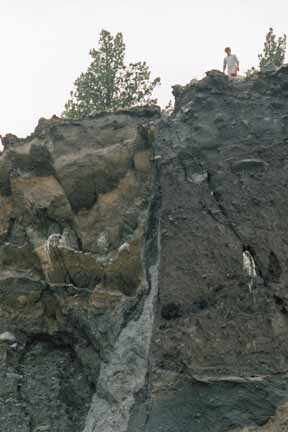
Flood deposit. Photo by Mary Jane Coombs.
Chris and Shasta. Photo by Mary Jane Coombs.
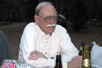
Bob Christiansen. Photo by Mary Jane Coombs.
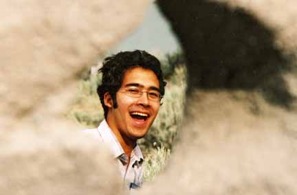
"Keyhole." Photo by Mike Diggles.
Mike on a large block. Photo by Mike Diggles.
Callie. Photo by Mike Diggles.
Steve and Jenn. Photo by Mike Diggles.
Chet and Mary Jane. Photo by Mike Diggles.
Mary Jane. Photo by Mike Diggles.
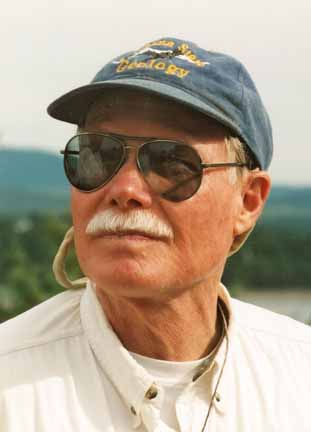
Al Atkinson. Photo by Mike Diggles.
Mike, Alix. Photo by Mary Jane Coombs.
Alix. Photo by Mary Jane Coombs.
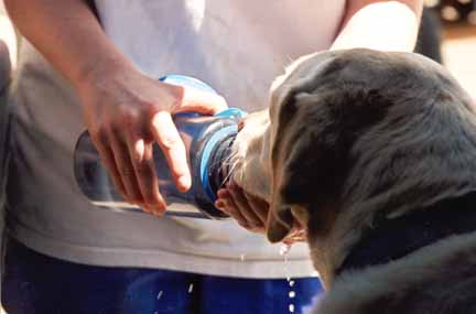
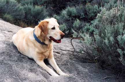
Callie drinking from her Nalgene water bottle. Photo by Mike Diggles.
Lecture on Etna Pass. Photo by Mike Diggles.
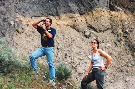
Posing. Photo by Mike Diggles.
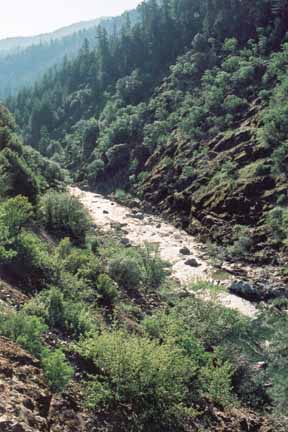
North Fork, Salmon River. Photo by Mike Diggles.
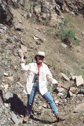
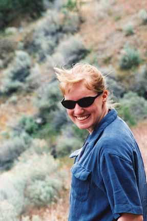
Sandy. Photo by Mary Jane Coombs.
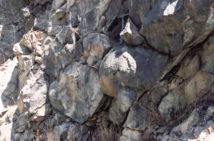
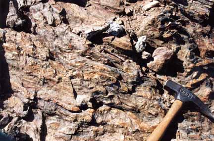
Pillows. Photo by Mary Jane Coombs.
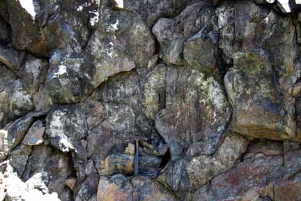
Pillows at Stop 15. Photo by Bob Rorden.
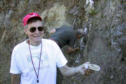
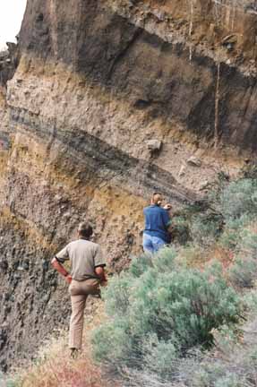
Gary at the outcrop. Photo by Bob Rorden.
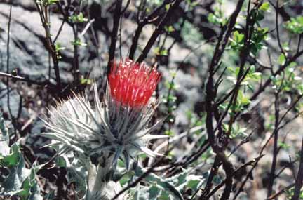
Thistle among the outcrops. Photo by Mary Jane Coombs.
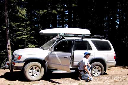
Mike's first flat. Photo by Bob Rorden.
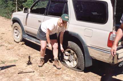
Mary Jane changing Mike's flat. Photo by Mike Diggles.
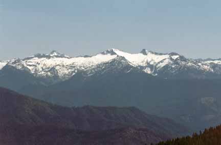
Thompson Peak (9,002') on the left is the hightest point in the Trinity Alps. Tom Jackson pointed out that Mt. Eddy (9,025') is the hightest point in the Klamath Mountains. Photo by Mike Diggles.
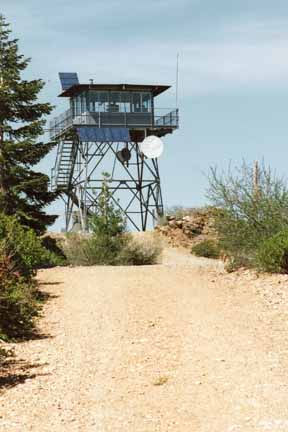
Eddy Gulch Lookout. Photo by Mike Diggles.
Stuart Fork rocks. Photo by Mike Diggles.
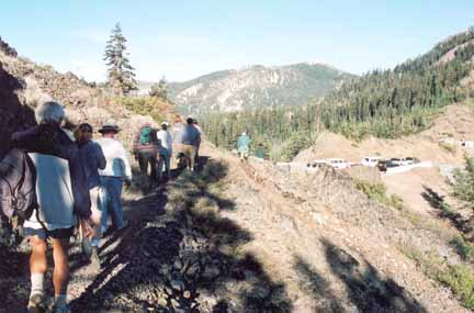
Geologists returning from Pacific Crest Trail. Photo by Mike Diggles.
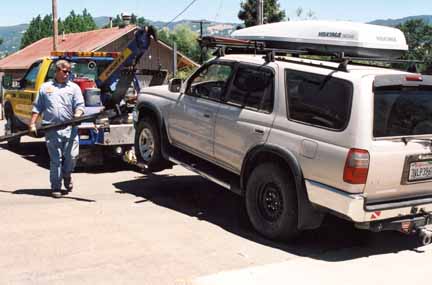
AAA in Hopland after Mike's second flat. Photo by Mike Diggles.
Jenn. Photo by Mary Jane Coombs.
Michael. Photo by Mary Jane Coombs.
Al and Chet. Photo by Mary Jane Coombs.
Gary and Chris. Photo by Mary Jane Coombs.
Slapped on. Photo by Mary Jane Coombs.
Date created: 05/30/2001
Last modified: 03/13/2006
Created by: Mike Diggles, Vice President, PGS.