This is a photo essay of the field trip with pictures by Mike Diggles, Chuck Yoneda, Cheryl Smith, Bill Milestone, and Tsing Bardin. Photos not otherwise attributed are by Mike Diggles. These photos have "catalog numbers" in the captions for ordering copies. Each of Mike's photos is available as 4"x6" glossy prints ($0.50 each) and as large (~1-MB) print-quality digital images (no charge) via FTP or email-attachment; I can't keep the big puppies online. These files are 1200 x 1600 pixels (nearly 2 megapixels) and are compressed at JPG-11 (low compression, high quality, large size). Contact Mike Diggles at mike@diggles.com or phone 650-329-5404. Chuck's shots are available from him as higher-resolution versions. Contact Chuck Yoneda at yoneda@SLAC.Stanford.EDU for those. I have higher-resolution versions of Tsing's shots I can provide. I didn't make high-res scans of Bill's shots but I will if you want them. If you want all 117 images plus this Web page off-line, I'll burn you a CD-ROM and mail it to you.
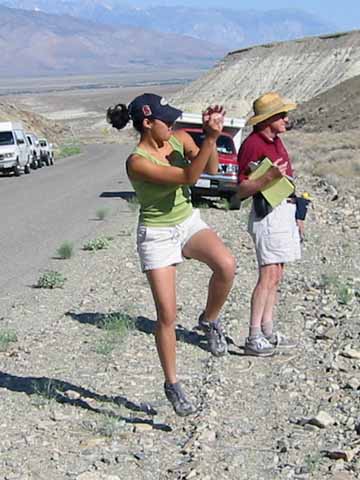
Ben jogging (image 020601-1086).
Abby in her field "boots" (image 020601-1093).
Donnell lunch (image 020601-1095).
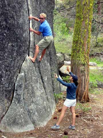
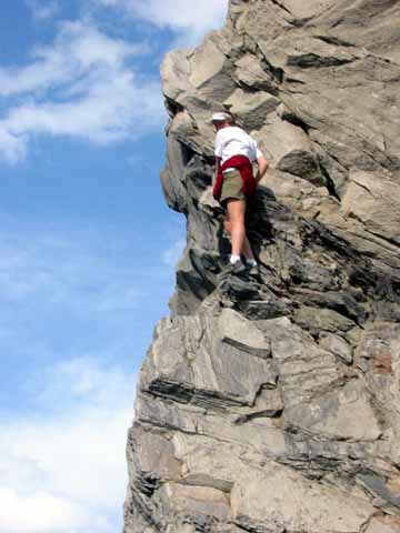
Ben being belayed (image 020601-1103).
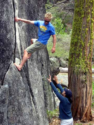
Ben being belayed (image 020601-1105).
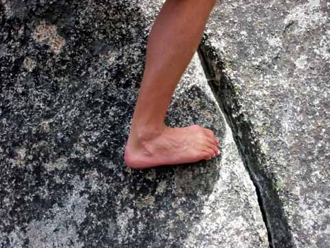
Ben in his field "boots" (image 020601-1106).
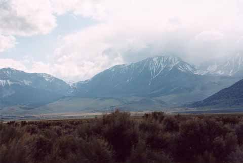
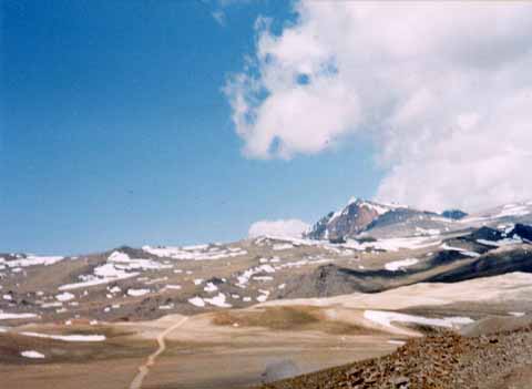
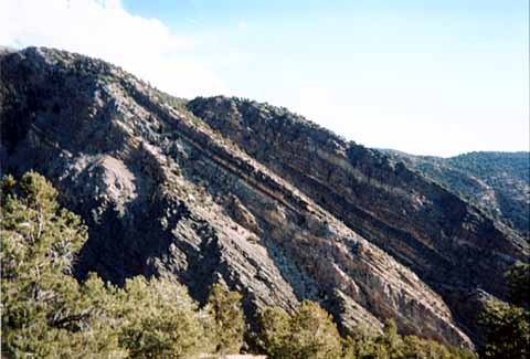
Glacial valley north of Conway Summit; perhaps Lundy Canyon? (photo by Tsing Bardin) (image Glaciervalleyeasternsierra).
Gary and Casey (image 020601-1107).
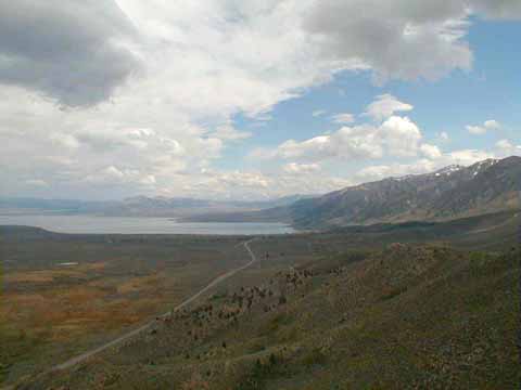
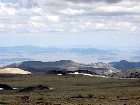
Moraine behind us as we looked at Mono Basin from below Conway Summit (photo by Tsing Bardin) (image MoraineConwaysummit).
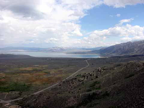
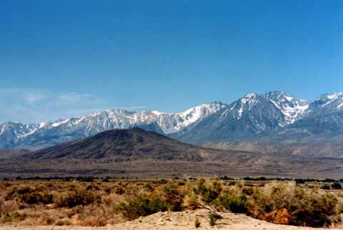
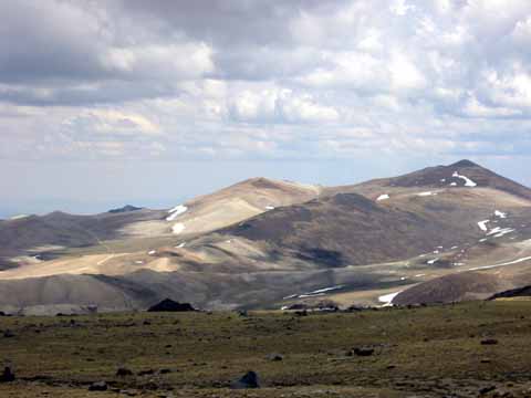
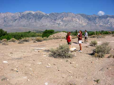
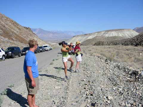
Mono basin from near Conway Summit (image 020601-1109).
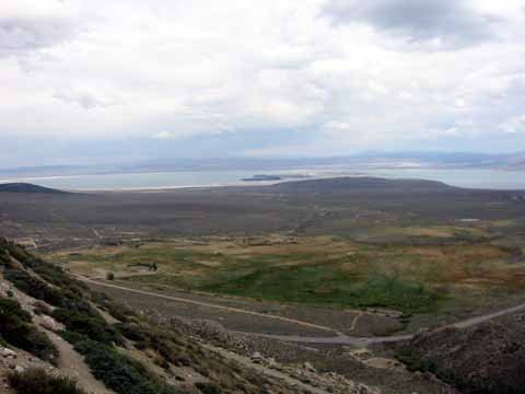
Mono basin from near Conway Summit (image 020601-1110).
Mono basin from near Conway Summit (image 020601-1111).
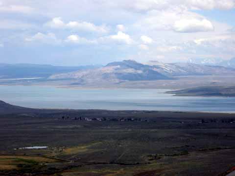
Mono basin from near Conway Summit (photo by Chuck Yoneda) (image 003a).
Hannah and Bob (image 020601-1114).
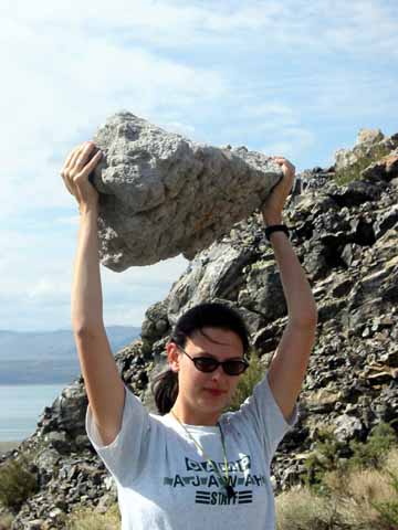
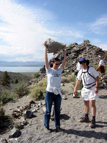
Hannah pumping pumice (image 020601-1115).
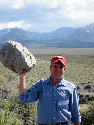
Mike pumping pumice (photograph by Cheryl Smith) (image 020601-1117).
Gary and Bob (image 020601-1118).
Reid (image 020601-1119).
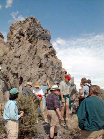
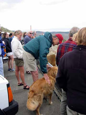
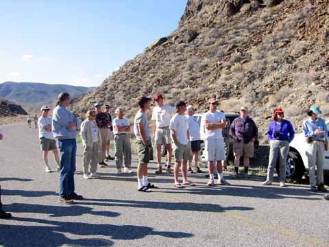
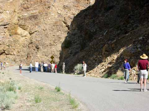
Lecture at Panum Crater (photo by Chuck Yoneda) (image 006).
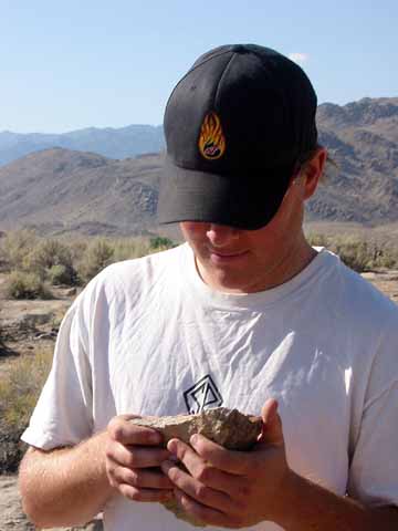
Inspecting the outcrop up close (image 020601-1124).
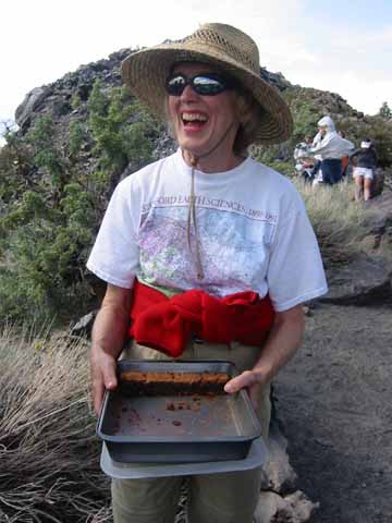
Brownies in the field (image 020601-1125).
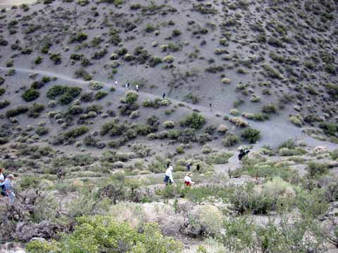
Panum trail (image 020601-1128).
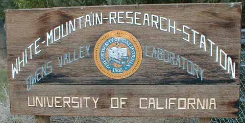
WMRS sign on East Line Street outside of Bishop (photo by Chuck Yoneda) (image 039).
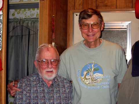
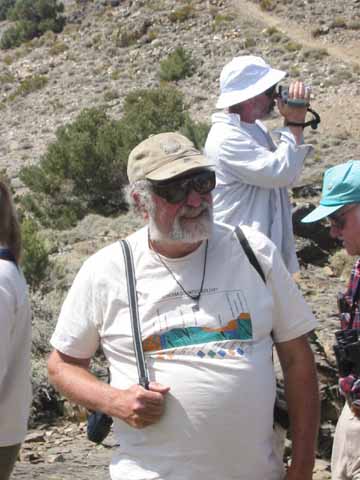
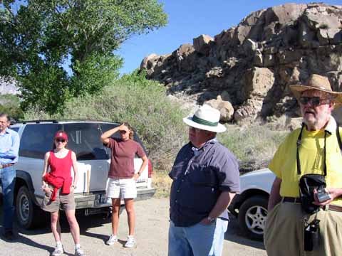
Gary Ernst and Mike Diggles visited Clem Nelson at his house in Bishop (image 020601-1129).
(image 020601-1122).
(image 020601-1126).
(image 020602-1142).
(image 020603-1194).
(image 020603-1208).
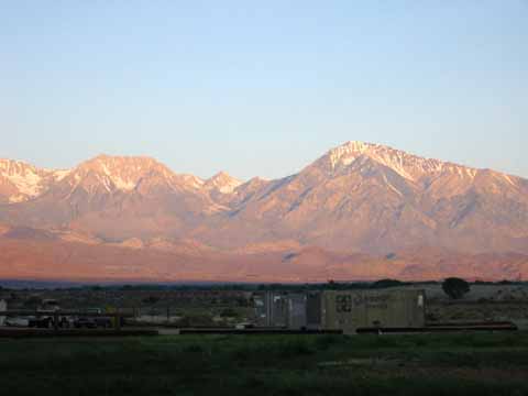

Sunrise at the East Line Street (photo by Chuck Yoneda) (image 040).
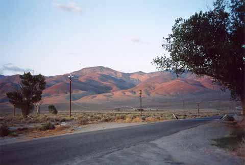
Looking northeast towards Black Mountain from Owens Valley Lab (photo by Tsing Bardin) (image blackmtnWMRS).
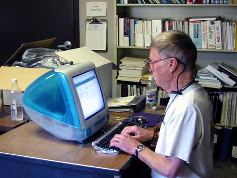
Dave Scholl at WMRS emailing Mary Jane Coombs at sea about ocean-drilling graphics (image 020602-1133).
Cinder cone near Big Pine (photo by Tsing Bardin) (image Cindercone_nrBigPine).
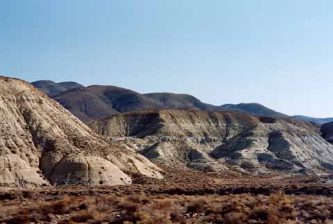
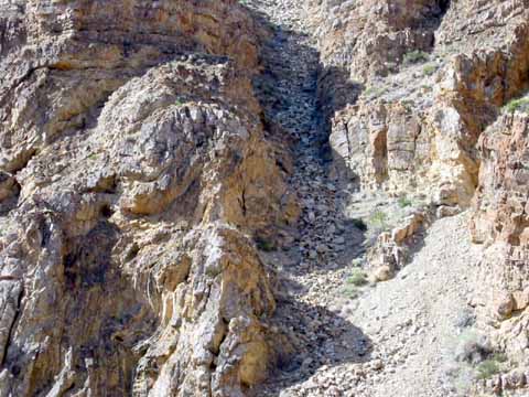
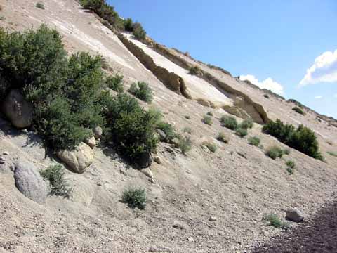
Waucoba Embayment (photo by Tsing Bardin) (image Waucobaembayment).
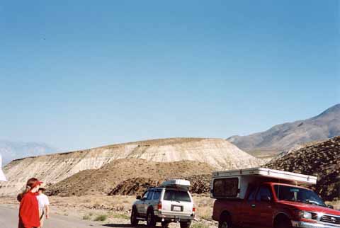
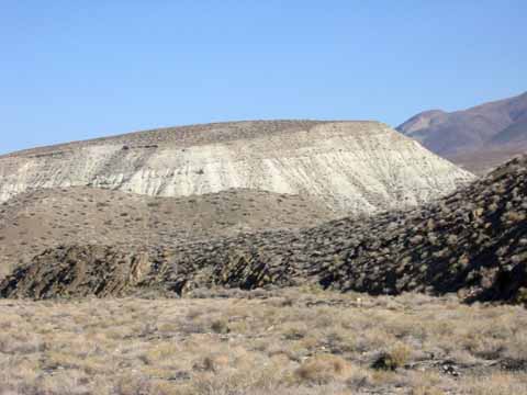
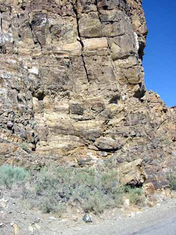
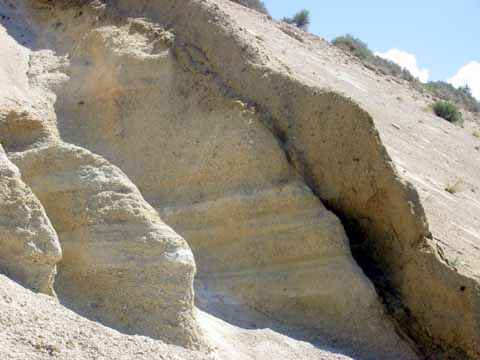
Waucoba Embayment lake deposits (photo by Tsing Bardin) (image Waucobalakebeds).
Waucoba Embayment lake deposits (image 020602-1135).
Students (image 020602-1136).
Hines-Tongue lecture (image 020602-1137).
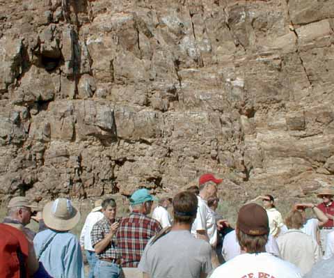
Hines-Tongue lecture (photo by Chuck Yoneda) (image 009).
Mandy Booth (image 020602-1139).
Hannah and Mandy (image 020602-1141).
The other side of the creek is just a stone's throw away (cropped from image 020602-1143).
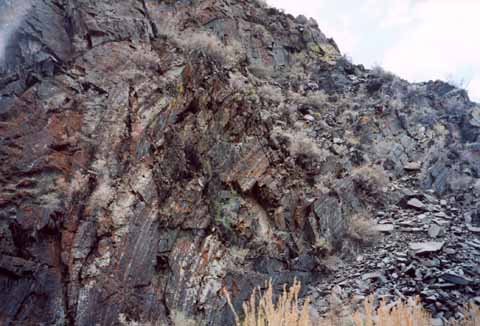
Fault (image 020602-1144).
Hines Tongue member of the Reed Formation (image 020602-1145).
Diane (image 020602-1146).
Fold in the Hines (image 020602-1149).
Fold in the Hines (image 020602-1150).
Devils Gate (photo by Tsing Bardin) (image DevilsGate).
(image 020602-1151).
(image 020602-1152).
Terry (image 020602-1153).
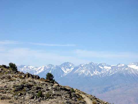
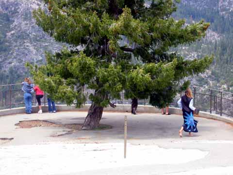
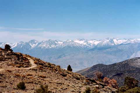
Sierra View (image 020602-1154).
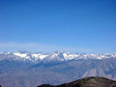
Sierra View (image 020602-1155).
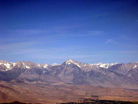
Sierra Overlook (photo by Tsing Bardin) (image SierraOverlook).
Sierra View (image 020602-1156).
Folds in the Poleta (Looks like argillite; Wyman?) (photo by Tsing Bardin) (image PoletafoldsDeepSpringVly).
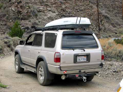
Mike's field vehicle is named Akiho, after Akiho Miyashiro who wrote Metamorphism and Metamorphic Belts (image 020602-1157).
Abby (image 020602-1158).
Cheryl and Sandy (image 020602-1162).
Terry (image 020602-1163).
Terry's fold (image 020602-1164).
Bill (image 020602_Bill-1).

Below Barcroft gate (Photo by Bill Milestone) (image 020602_Bill-3).
Below Barcroft gate (Photo by Bill Milestone) (image 020602_Bill-4).
Lecture at Barcroft Station (photo by Chuck Yoneda) (image 017).
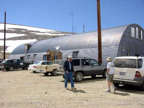
Barcroft station (image 020602-1165).
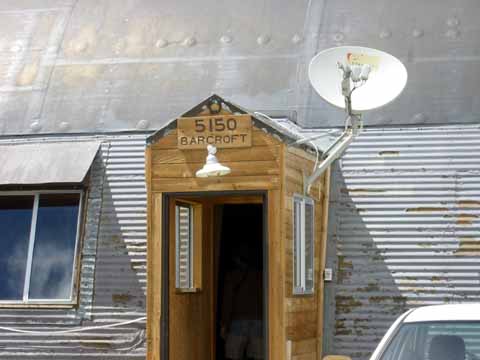
Barcroft Station (image 020602-1166).
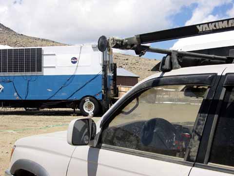
NASA van (image 020602-1167).
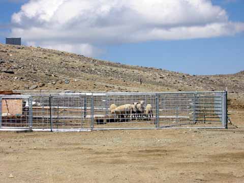
Bighorn-Sheep ewes (image 020602-1168).
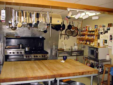
Barcroft-Station's great galley (image 020602-1169).
From Barcroft Station (image 020602-1170).
From Barcroft Station (image 020602-1171).
Kathy (image 020602-1172).
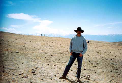
The third-highest summit in California is this black-and-brown peak. Hence the name White Mountain (photo by Tsing Bardin) (image whitemtnBarcroftpluton).
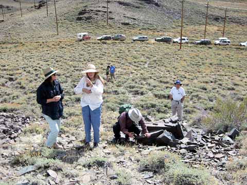
Worm hunt (image 020602-1175).
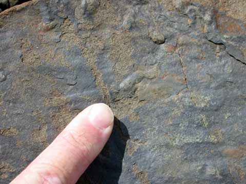
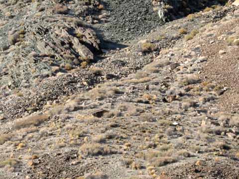
Worm tracks in the Montenegro Member of the Campito Formation (image 020602-1176).
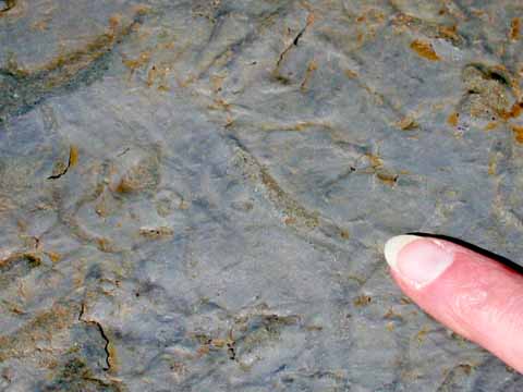
Worm tracks. These guys lived about 550 million years ago (image 020602-1177).
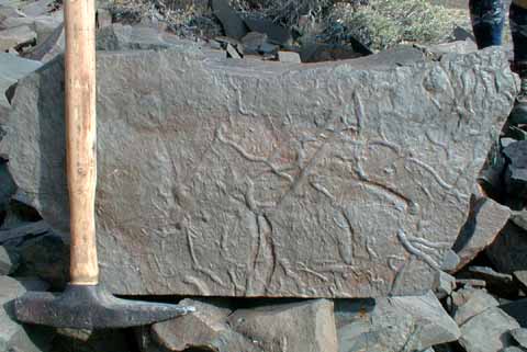
Worm tracks (photo by Chuck Yoneda) (image 036).
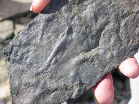
Worm tracks (image 020602-1178).
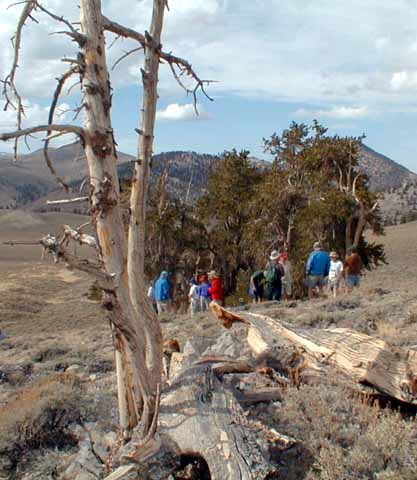
Lecture at the Bristlecones (photo by Chuck Yoneda) (image 031).
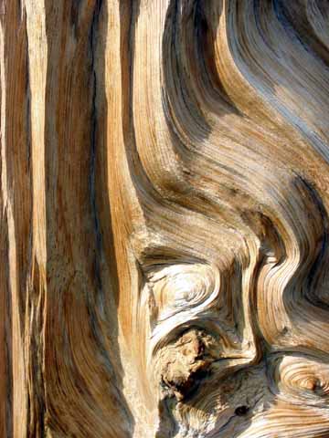
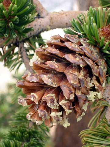
Bristlecone closeup (image 020602-1179).
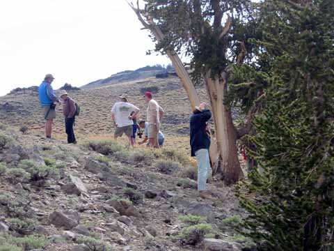
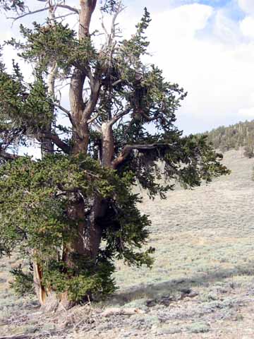
Bristlecone pines (image 020602-1182).
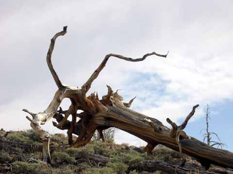
Fallen Bristlecone (image 020602-1183).
Bristlecone (image 020602-1184).
Bristle cone (image 020602-1185).
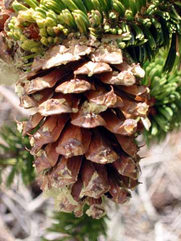
Bristle cone (image 020602-1186).
Going down Silver Canyon (Photo by Bill Milestone) (image 020602_Bill-2).
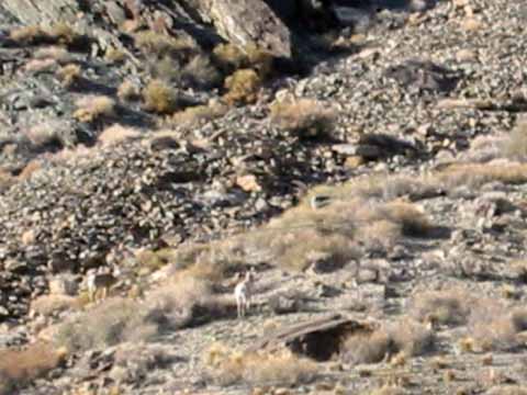
Bighorn Sheep (cropped from image 020602-1187).
Students (image 020603-1190).
Bill (image 020603-1191).
I don't think we're in Alaska any more, Todo (image 020603-1192).
Cheryl (image 020603-1193).
Wheeler Crest (image 020603-1196).
Tuff sample (image 020603-1197).
(image 020603-1198).
Chuck (image 020603-1199).
Lecture at the Bishop Tuff (photo by Chuck Yoneda) (image 307).
(image 020603-1200).
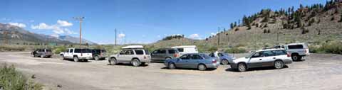
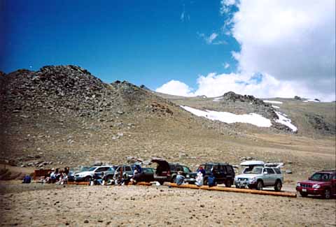
Our long line of field vehicles (QuickTime VR)
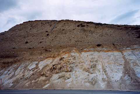
Pumice cut: Sherwin Till overlain by Bishop Tuff (image 020603-1205).
Pumice cut (image 020603-1206).
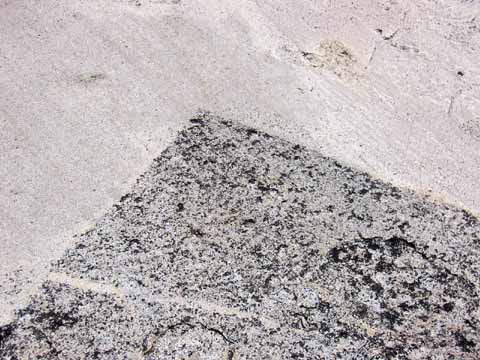
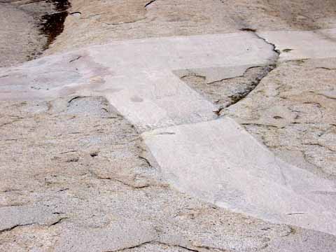
Aplite dikes at sharp angles near Tenaya Lake in Yosemite National Park - Cathedral Peak Granodiorite (image 020603-1209).
Aplite dikes (image 020603-1210).
Aplite dikes (image 020603-1211).
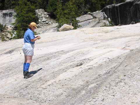
Aplite dikes, Tsing (image 020603-1212).
Aplite dikes, Cheryl solving the space problem (image 020603-1213).
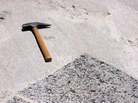
Aplite dikes (image 020603-1214).
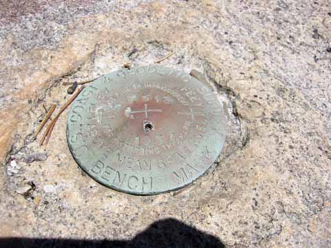
USC&GS bench mark at the dikes (image 020603-1215; thanks to George Leigh for getting the name of the mark maker correct for me; he works for NOAA's National Geodetic Survey, the new name).
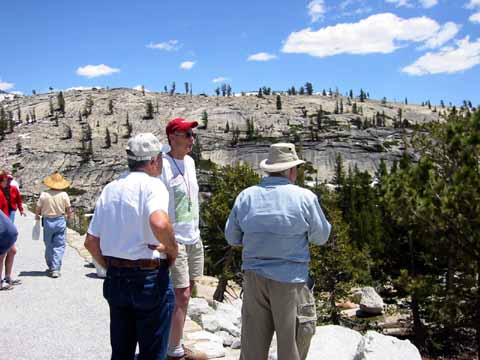
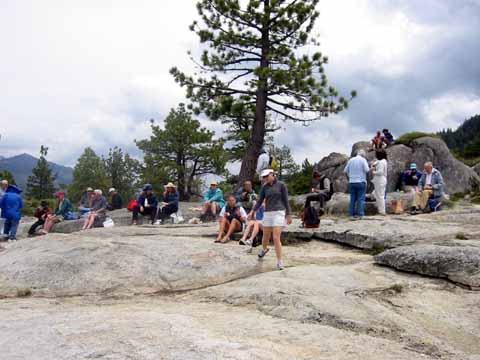
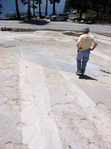
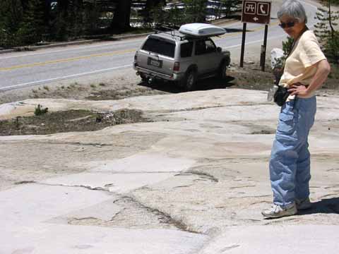
Olmstead Point (image 020603-1216).
Date created: June 4, 2002
Last modified: August 26, 2007
Created by: Mike Diggles, Vice President, PGS.
c/o U.S. Geological Survey, MS-951, 345 Middlefield Road, Menlo Park, CA 94025. (650) 329-5404.
email Mike Diggles at mike@diggles.com
Back to PGS Home Page