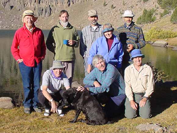
Group photo taken by a hiker we met up there. Back row (L-R), Ralph Holsinger, Ron Barager, Roger Willmarth, Jeannie McGurk, Roger's brother, Ken Willmarth. Front row (L-R), Roger and Ken's brother-in-law Alan Green, Ron's dog Roxie, Jay Stuart, Mike Diggles
The 2002 Boot 'n Blister hike was to the South Warner Wilderness in the far northeastern corner of California. This trip was planned by Ron Barager who also happens to be the Wilderness Ranger there. That meant he didn't have to drive as far as we did and it also meant that we had a local expert to plan a grand backcountry trip. He even hiked to the our planned campsite at Patterson Lake the week before this hike to check it out. Or perhaps he did that because it is his job?
Next year, we need to do another southern trip for all the BnB folks who live in places like San Diego County and Tehachapi. Ralph suggested Pear Lake out of Lodgepole in Sequoia National Park. I was just in Lodgepole with two cousins to climb Mt. Silliman the weekend before this Warners trip. I think Pear Lake is about six miles one-way so it'll be just right. Let's plan on it, OK?
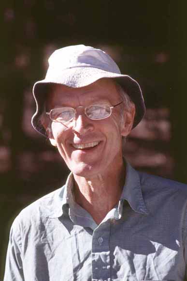
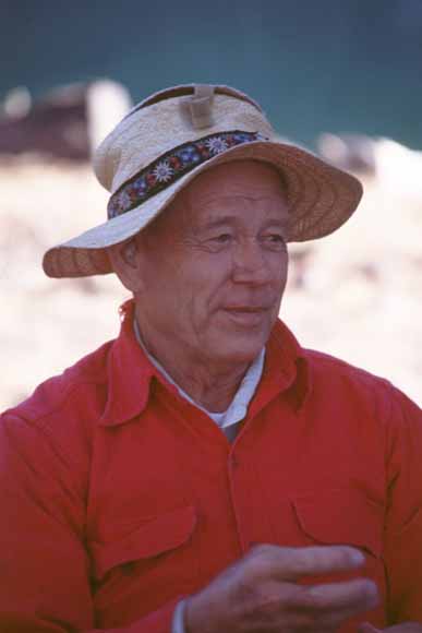
He is still here and still taking care of us. That hat he has on, by the way, has a Velcro-tab top he made so he can flip it open and use it as a lens shade on his Nikon.
The crest of this range reaches a maximum elevation of nearly 10,000 feet. Wendell Duffield wrote "The Warner Mountains are a fault-bounded block of the Basin and Range province and have been uplifted between 5,000 and 12,000 feet along the fault zones. Bedrock of the area consists of 5,000 feet of coarse clastic sedimentary rocks of Oligocene age that are overlain by 5,000 feet of rhyolitic to basaltic volcanic rocks of Miocene age. Mafic sills are common in the Oligocene section, and abundant mafic dikes penetrate to the top of the range. The entire bedrock section is conformable and dips about 25 degrees to the west. Quaternary glaciers carved out some of the present topography along the ridge crest and locally deposited small moraines." (U.S. Geological Survey Bulletin 1385-D, 1976)
Miocene Epoch (23.8 to 5.3 million years ago)
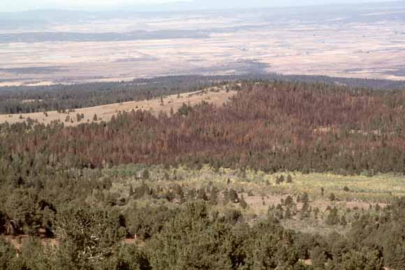
In this photograph you can see that the older, lower, andesite flows had been sitting on out in the open long enough for erosion to carve a couple of small valleys in the surface. When later basalt flows formed, the first one was not large enough to fill clear across the two valleys. This left a bit of a ridge that didn't get buried until the second basalt flow erupted. The present surface is on the top of the last basalt flow and looks quite un-eroded. You can follow the flow, covered with trees, from left to right and not see any valley carving like that which took place farther down the section. This is not too surprising; the basalt is fairly resistant to erosion and the andesite with the valleys cut in it looks like it consists, at least in part, of easier-to-erode lahars (see
BnB 2000 where we saw lots of lahar)
This tree was discovered by a firefighter who was on this burn and he brought in a forestry professor from Humboldt to document this special tree's status. What the biggest species of trees are in America.
If you want prints, just contact Mike (mike@diggles.com) with the image number (that silly-looking set of characters in the captions).
Boot 'n Blister Home Page on the Web
Photographs
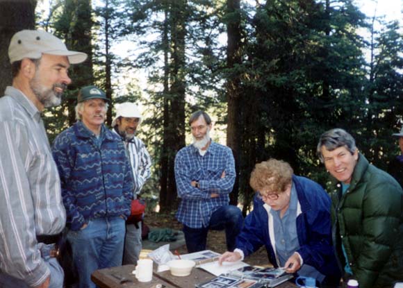
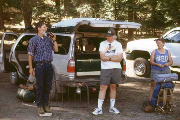
Every year I bring this three-inch-thick photo album of Boot 'n Blister photos to the roadhead. Each year it gets a couple pages thicker. Here is Roger, Jay, Ken, Ron, Rusty, and Mike at the roadhead the morning we began the hike (Jean-1.jpg).
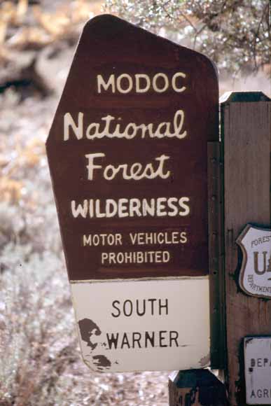
Ah yes, a U.S. Forest Service Wilderness sign (0209F-07).
It just so happened that a field party from Mike's office at USGS was in the Warners the same weekend doing geophysics. (L-R) Elizabeth Sanger, Jonathan Glen, Nick Garboe, and Rob Coe (0209F-02).
Rob Coe is a geology professor at U.C. Santa Cruz and was Jonathan Glen's thesis adviser (0209F-04).
Elizabeth Sanger is a geophysicist with the Geophysics Unit, Menlo Park (GUMP) (0209F-05).
Jonathan Glen works in Mike's old Minerals Team; Nick Garboe is a volunteer for this motley crew (0209F-06).
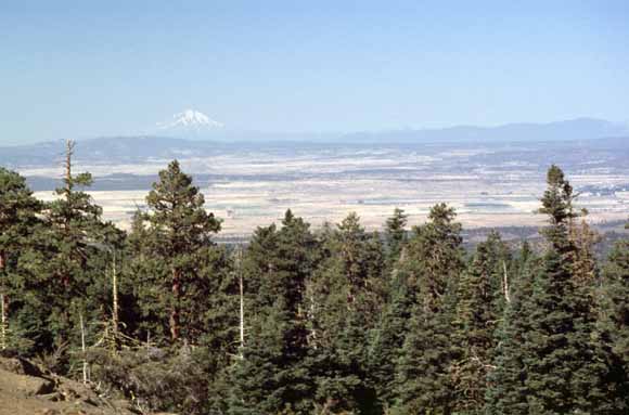
Mount Shasta to the southwest (0209F-08).
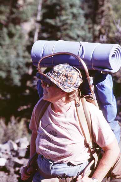
Jeannie McGurk (0209F-09).
Jeannie (0209F-11).
Jay (0209F-12).
Jeannie (0209F-15).
Ron (0209F-19).
Ralph Holsinger was one of the Faculty Advisors who helped Charlie Bloom take care of all of us teenagers in Boot 'n Blister. (0209F-20).
Roger Willmarth (0209F-22).
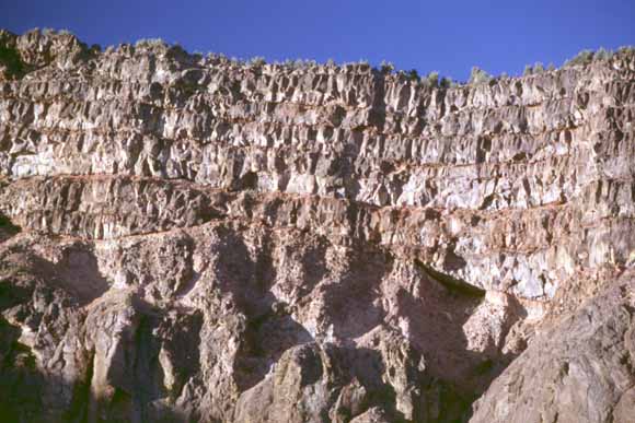
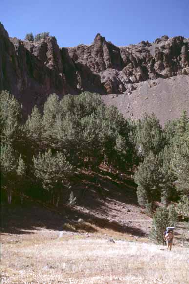
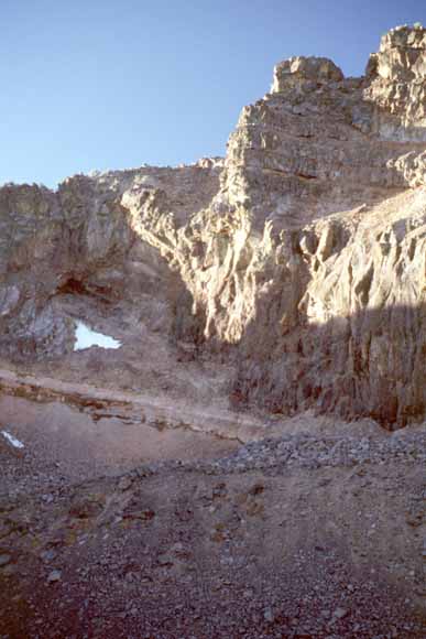
Volcanic section in the cliff behind the lake. (0209F-24)
Oligocene Epoch (33.7 to 23.8 million years ago)
Warren Peak These rocks are a 250-foot-thick andesite flow overlain by seven 20-foot-thick basalt flows. (0209F-25).
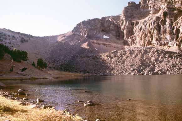
Patterson Lake occupies a glacial cirque and is dammed by a moraine. (0209F-26).
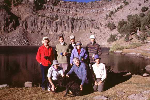
Group photo (0209F-27).
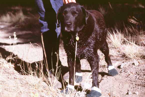
Roxie modeling the latest fashion in doggie footware (0209F-31).
This is a photo of the grove that contains the fourth-largest Lodgepole Pine in the world.(0209F-32).
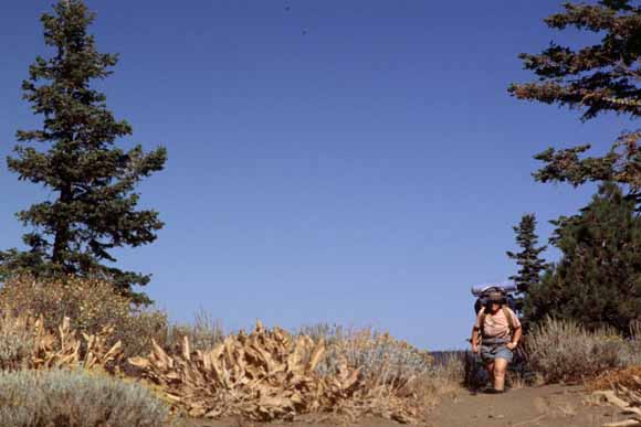
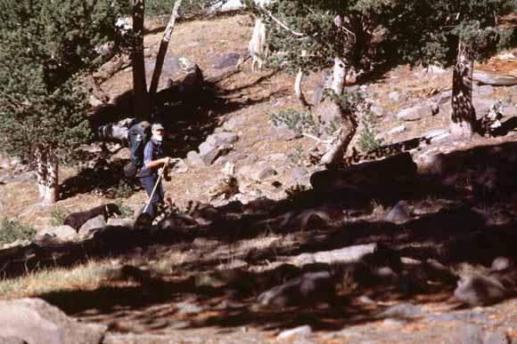
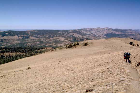
Hiking along the ridge (0209F-33).
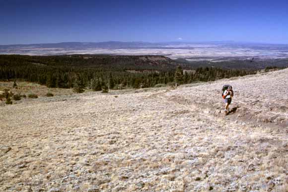
The trail on the way out (0209F-34).
Ron found this old rusty bedstead in the back country and several folks shared the effort of lugging it out of the wilderness (0209F-35).
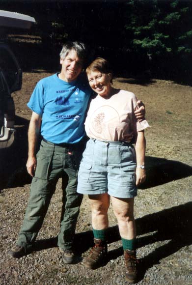
Mike and Jeannie (Jean-3).
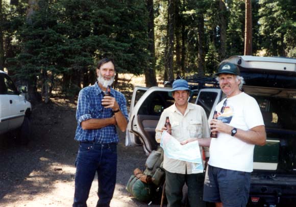
Drinking cold beers after the hike (Jean-2).
Back to top
On the Web, the URL of this page is http://www.diggles.com/bnb/2002/BnB2002a.html
Date created: 09/23/2002
Date revised: 02/27/2022
Send e-mail to
Mike (mike@diggles.com)