Here are some favorite shots from the Mount Whitney backpack and climbing trip
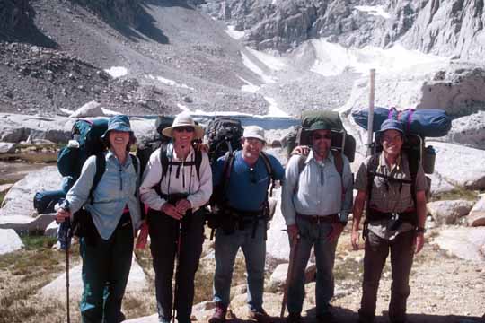
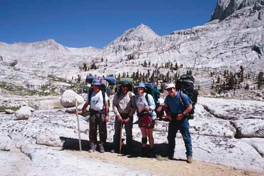
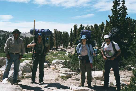
This was the longest backpack I've been on in twenty years! Five of us went on this grand tour of the Whitney region: Carol and Chris Rush planned the trip which also included Carol's kid brother, Bob Kohlenberger, a friend of theirs Gail Tauchus, and me, Mike Diggles.
We were gone for eight days and seven nights, most of it cross-country. We took off from Horseshoe Meadow, crossed to the west side of the Sierran crest at Cottonwood Pass, spend a few days working our way north, and came back across to the east side of the crest at Arc Pass. Once back on the east side, we took the trail to the top of 14,497-foot Mount Whitney (I took a side trip up Mt. Muir (14,012' on the way), and hiked out the next day to showers and salads in Lone Pine.
This Web page has three ways to view the trip:
This page is only partially finished. Gail and Carol gave me their shots but they are not interfingered with mine on this page yet. Meanwhile:
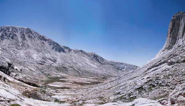
Crabtree-Pass panorama (800 kb).
Arc-Pass panorama (2.6 MB).
Mt. Muir panorama (3.3 MB).
Mount Whitney panorama (1.6 MB).

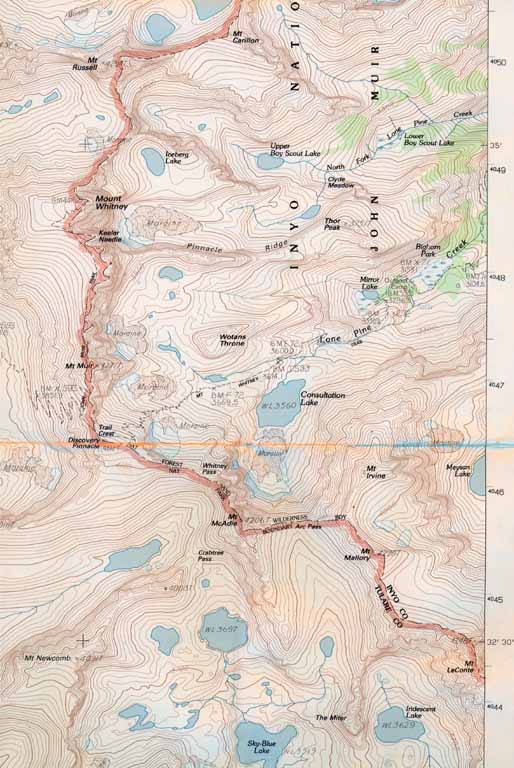
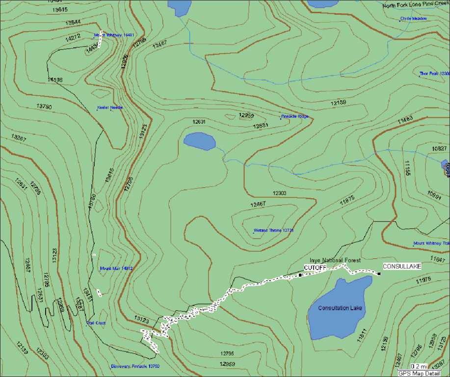
Part of the USGS topographic map of the Mount Whitney 1:24,000 quadrangle, provisional edition of 1994. This piece shows where we were from Tuesday on.
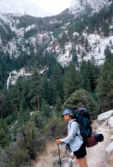
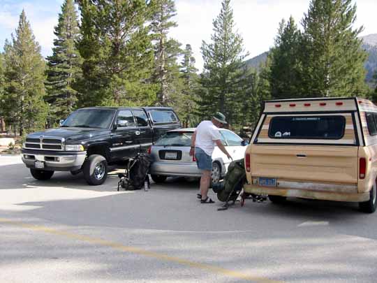
Saturday morning, Bob and I took my car up to Whitney Portal and dumped it off so it would be waiting for us eight days later. He and I met Chris and Carol in Lone Pine for one last restaurant breakfast, then we went up Tuttle Creek Road to the roadhead. This road, as you can see, gains you lots of elevation before the hike (0207F-16).
Roadhead at Horseshoe Meadow in the Cottonwood-Lakes basin (020713-1654).
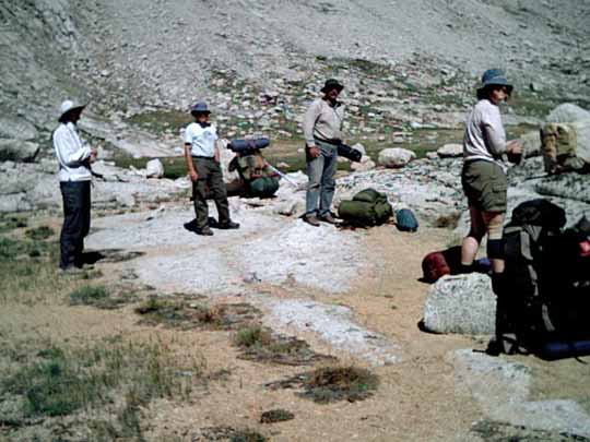
We weighed in before the hike. My pack was only 59.5 pounds (0207A-02).
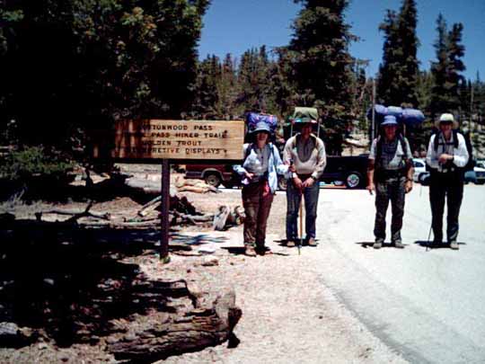
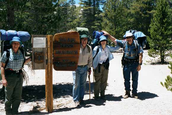
Ready to hike up the Cottonwood-Pass trail (Photo by Bob, 07_06_02_01_00_38PM).
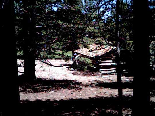
This is a little private 40-acre inholding homestead in the National Forest just off the road. It would make a cute little Bed 'n Breakfast, huh? (Photo by Bob, 07_06_02_01_49_40PM).
Looking back down toward Horseshoe Meadow (Photo by Bob, 07_07_02_11_09_42AM).
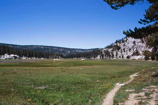
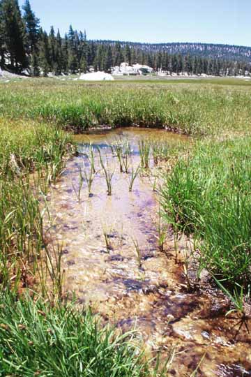
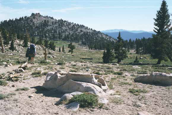
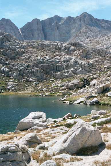
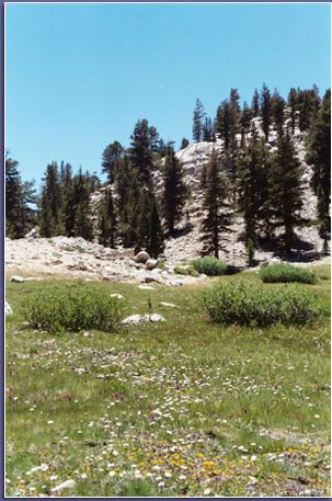
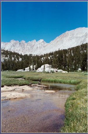
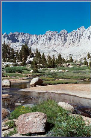
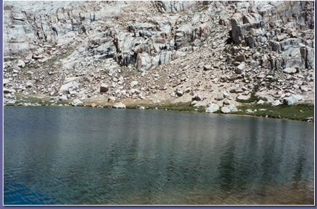
Chicken Springs Lake (0207A-12).
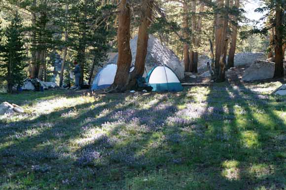
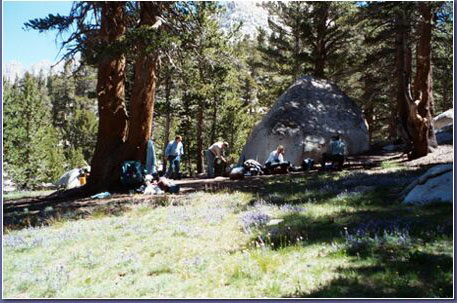
We camped the first night at Chicken Springs Lake (0207A-13).
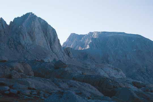
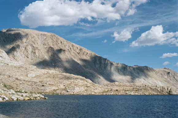
Mount Langley (14,026') to the north. When Clarence King made his second failed attempt to climb Mt. Whitney in 1864, he climbed this peak by mistake and claimed victory. (0207A-16).
(0207A-17).
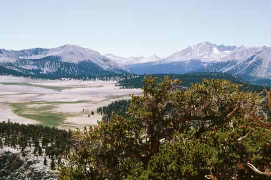
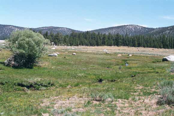
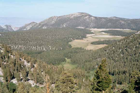
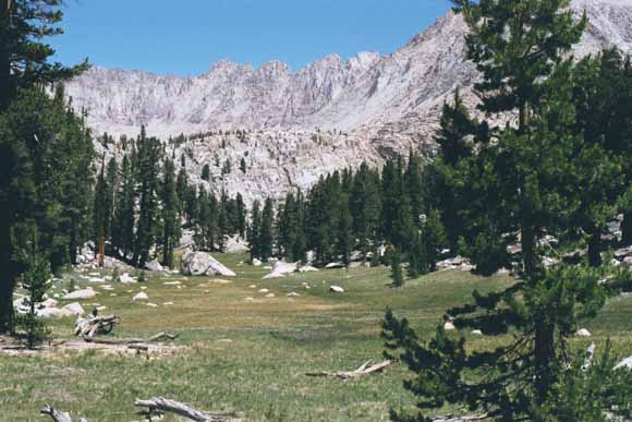
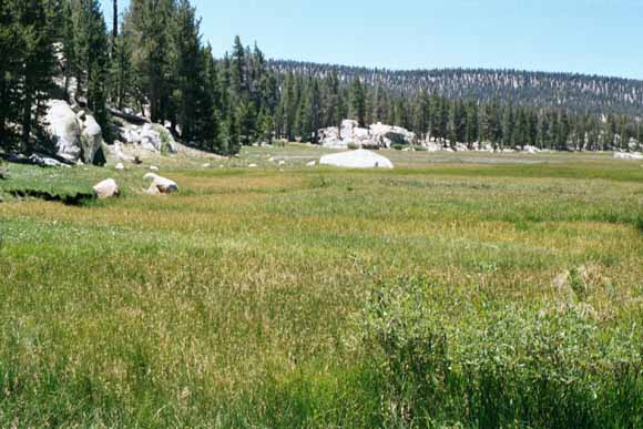
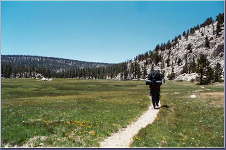
Big Whitney Meadow (0207A-18).
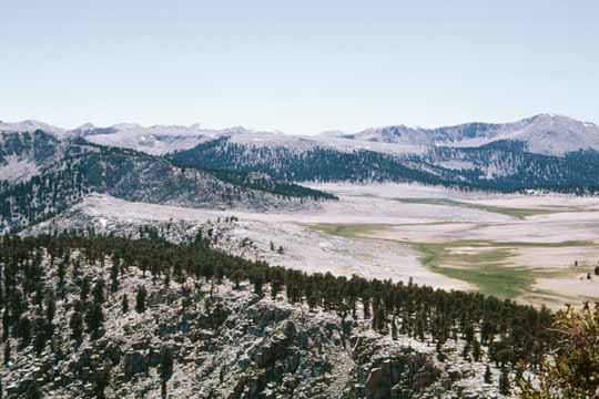
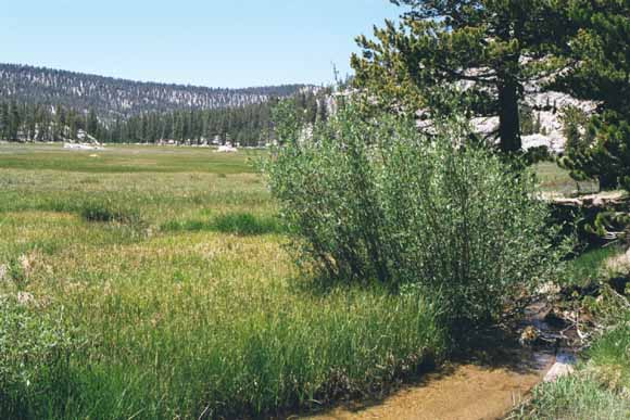
Siberian Outpost. Right about here on the trail, we left the Inyo National Forest's Golden Trout Wilderness and entered Sequoia National Park (0207A-19).
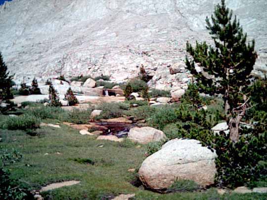
We hiked down to Rock Creek and made camp in the woods just off the trail at the creek crossing (0207A-20).
(0207A-21).
(0207A-22).
(Photo by Bob, 07_08_02_07_58_39AM).
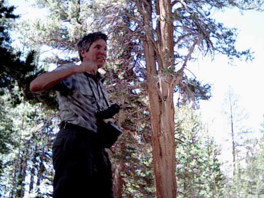
Mike and his camera (Photo by Bob, 07_08_02_12_33_36PM).
Chris (0207A-24).
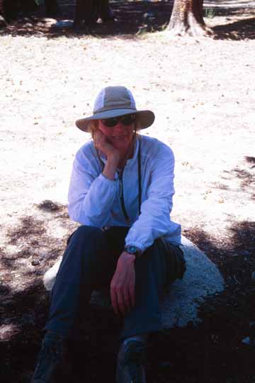
Gail (0207A-26).
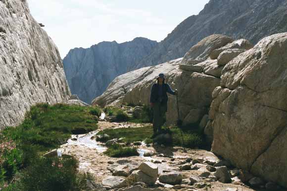
We left the Pacific Crest Trail and hiked up this cross-country route (0207A-28).
(0207A-29).
(0207A-30).
(Photo by Bob, 07_08_02_03_55_11PM).
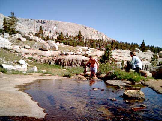
Chris was smart; he swam at lunch while the sun was still overhead (Photo by Bob, 07_08_02_04_12_41PM).
We were pretty tired and it was getting pretty late and this creek valley looked pretty nice so we made camp. The rest of us got to take dips in the creek but in the shadows by this time. (0207B-09).
(Photo by Bob, 07_09_02_10_22_49AM).
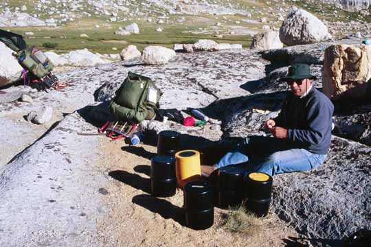
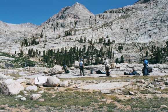
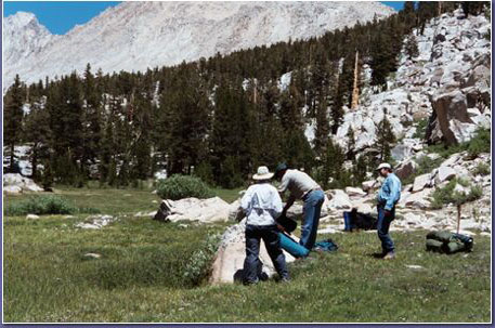
We took six bear canisters with us (0207B-08).
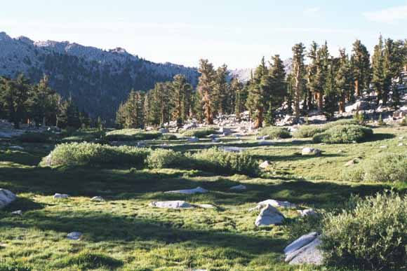
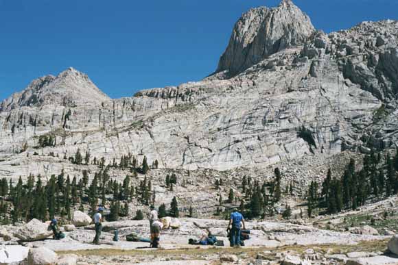
Monday, we finished the hike to Sky Blue Lake and began our layover day well before lunch (0207B-11).
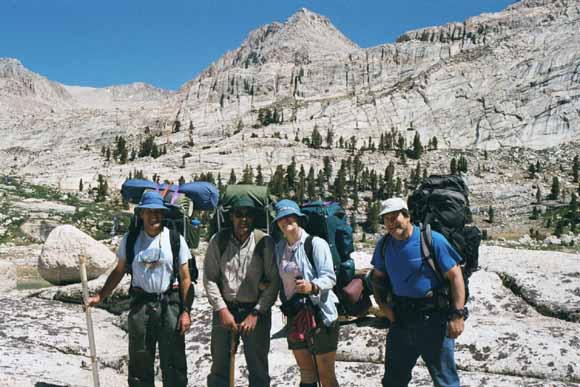
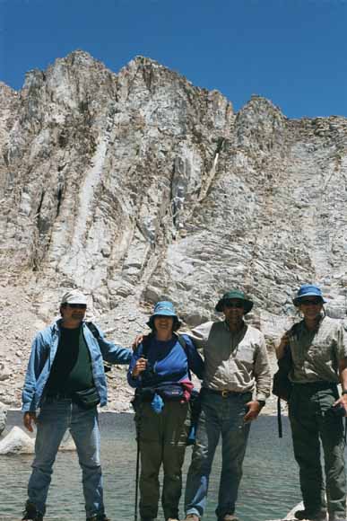
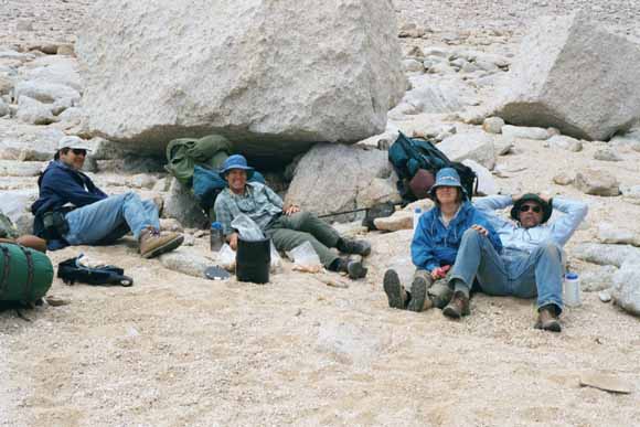
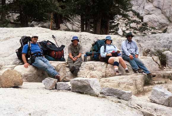
Foursome (0207B-12).
Bob (0207B-13).
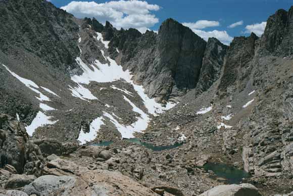
U-shaped valley (set of three shots "stitched" together) (0207B-18c).
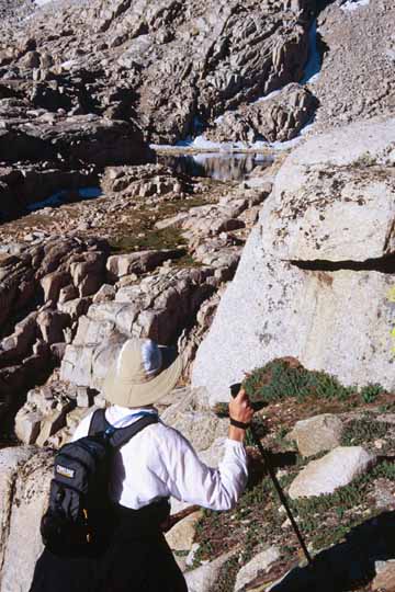
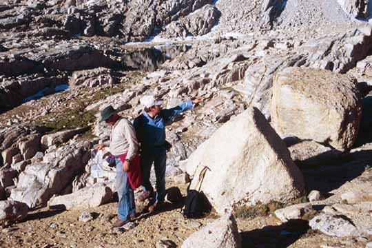
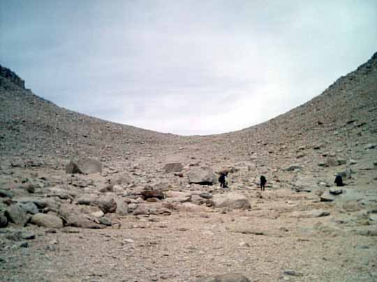
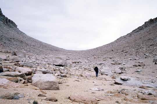
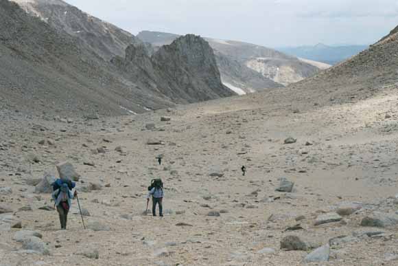
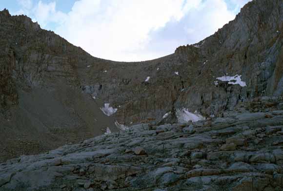
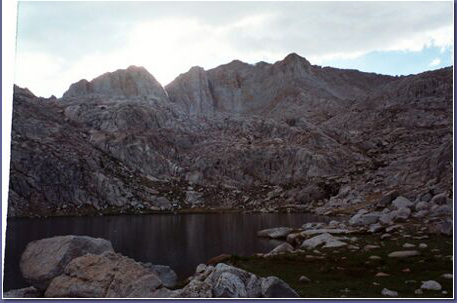
This was the day we had intended to climb Mt. Whitney. We got up before dawn and hit the "trail." We went past two or three lakes to Crabtree Pass where we were going to cross and traverse over to Whitney pass and on to the summit. The only trouble was that the "traverse" was blocked by cliffs and bluffs; we never would have gotten over them by dark much less gotten back that day. We decided some more fishing would be in order.
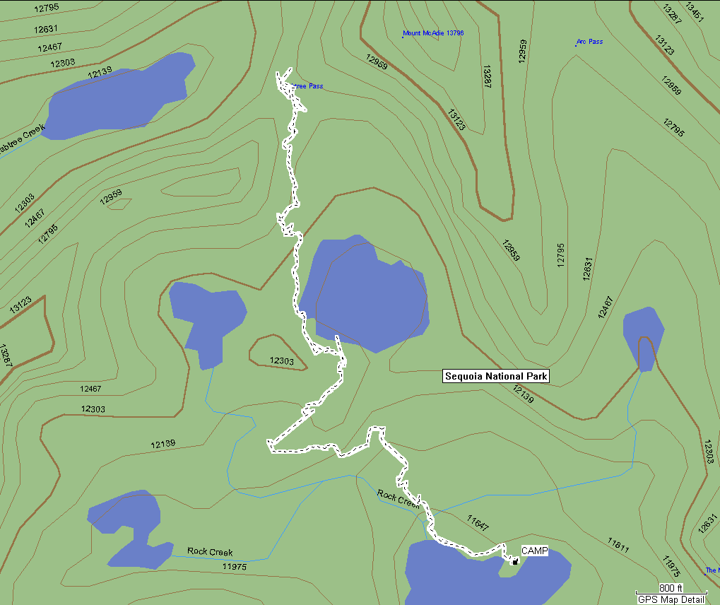
So, remember when Gail turned on her little GPS and let it make a trace of the route we took from Sky Blue Lake via Big Huge Lake to Crabtree Pass? Well, Gail got her GPS to divulge the trace file from her GPS to her computer. Then she emailed the .mps file to me. Then I loaded it into my Garmen software along with the topo image of the area from the CD-ROM. Then I zoomed in on it just right and took a "screen shot" of it. Here it is.
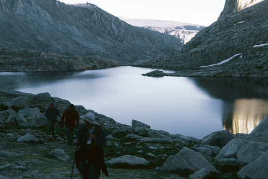
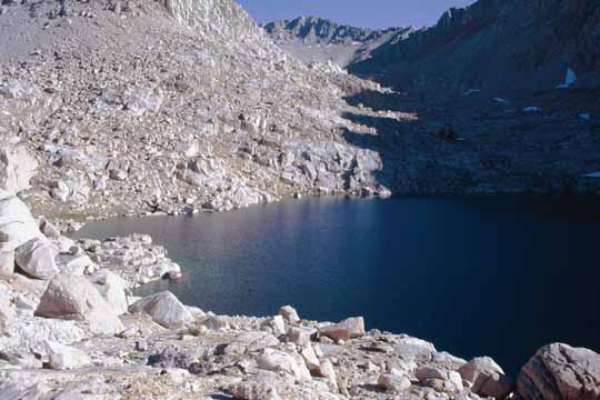
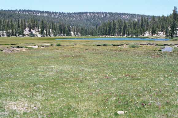
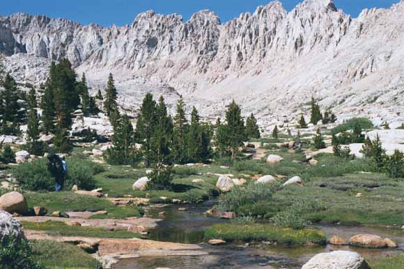
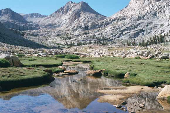
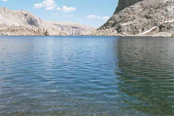
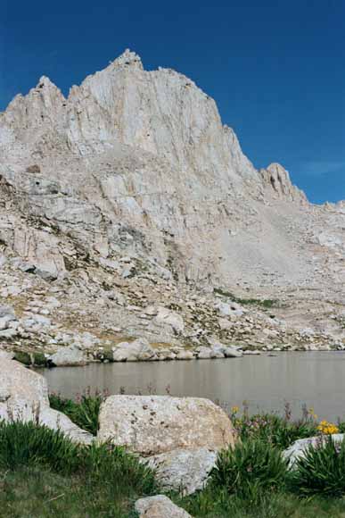
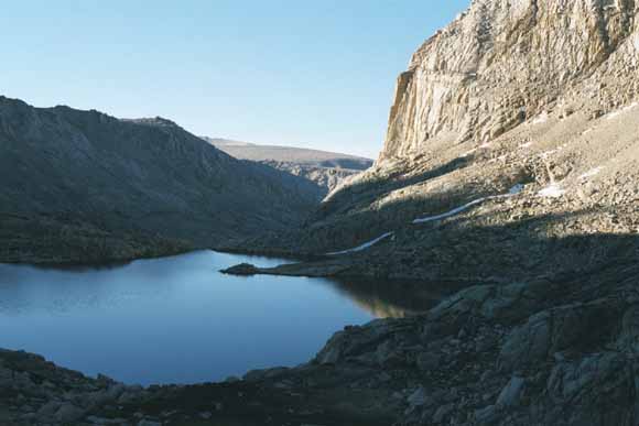
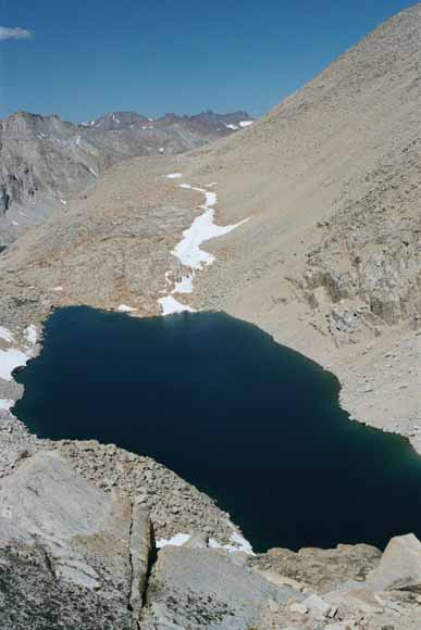
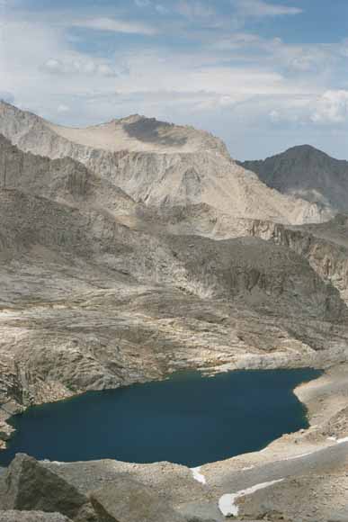
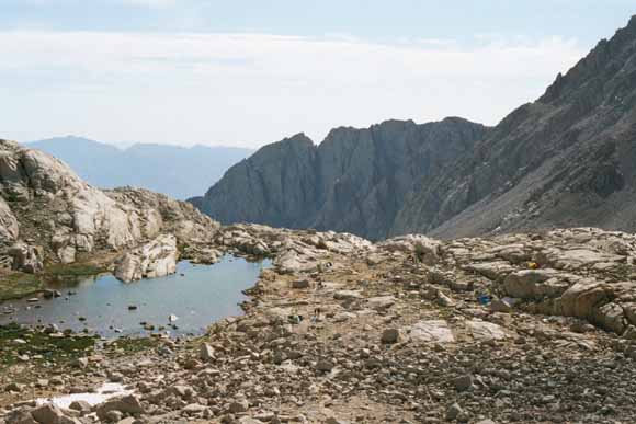
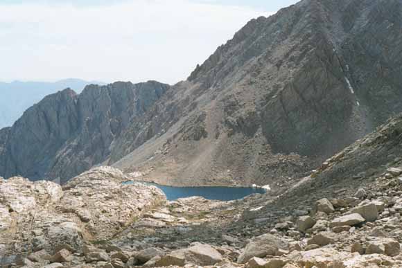
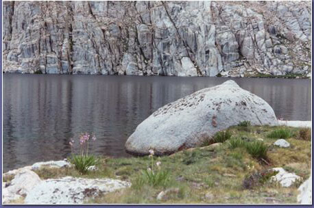
Sky Blue Lake (0207B-22).
Leaving the lake in the early morning (Photo by Bob, 07_10_02_06_47_23AM).
Looking back south to Mt. Langley (0207B-24).
Gail (0207B-25).
Lets go that way (0207B-26).

Push it over (0207B-27).
Some women who were fishing up here the day before told us they had decided this unnamed lake (marked "WL 3697 on the metric map" should be called Big Huge Lake (0207B-28).
(0207B-29).
(0207B-30).
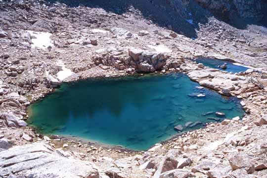
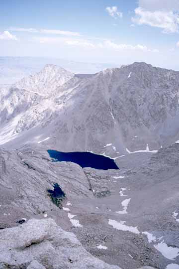
The Little Tiny Lake above Big Huge Lake (0207B-31).
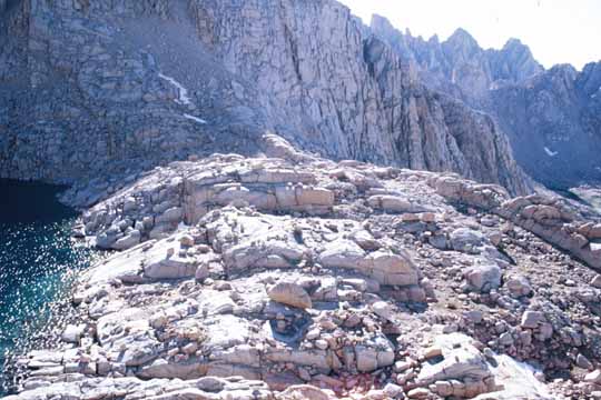
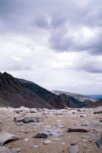
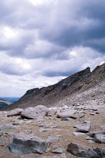
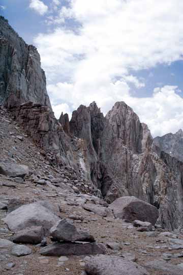
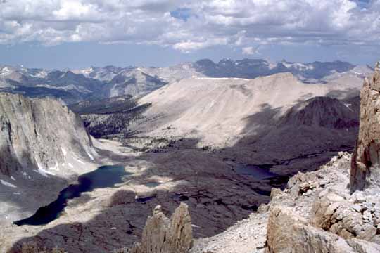
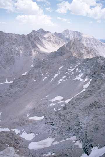
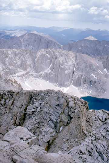
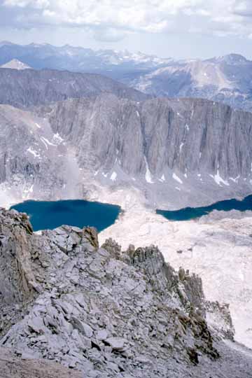
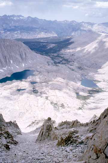
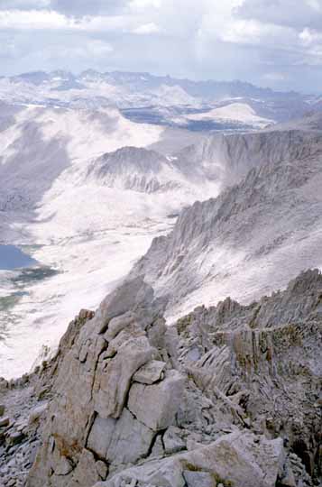
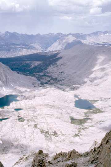
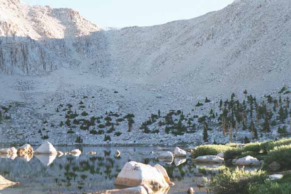
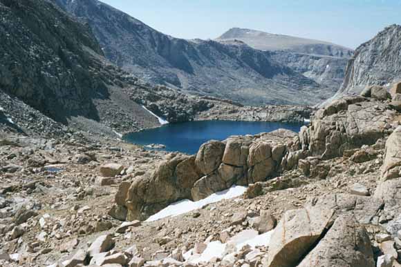
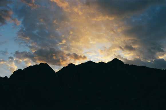
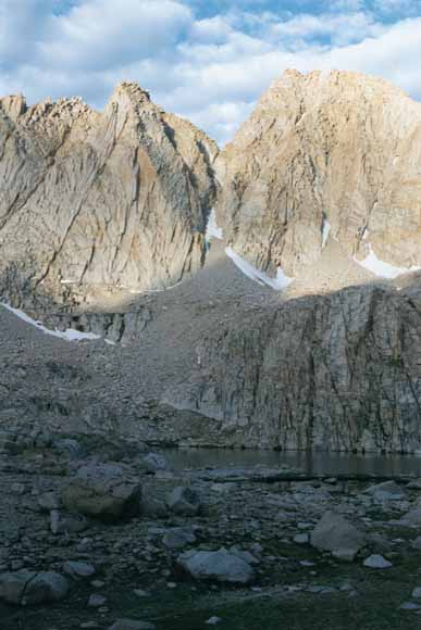
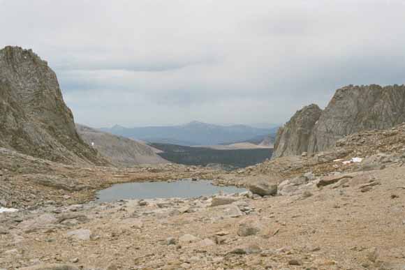
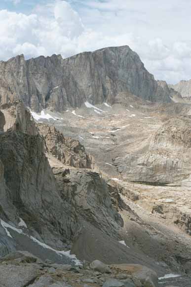
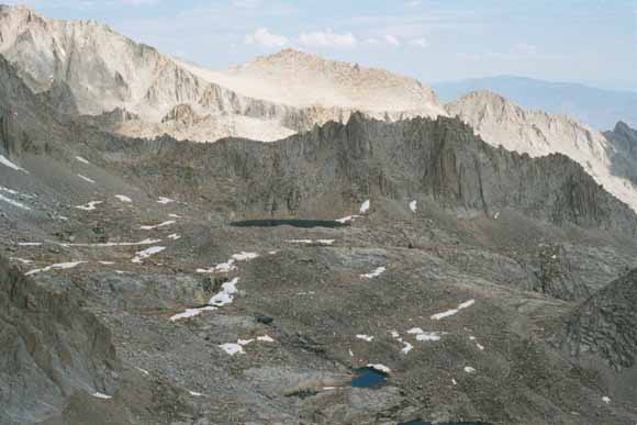
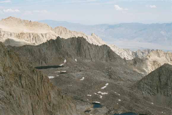
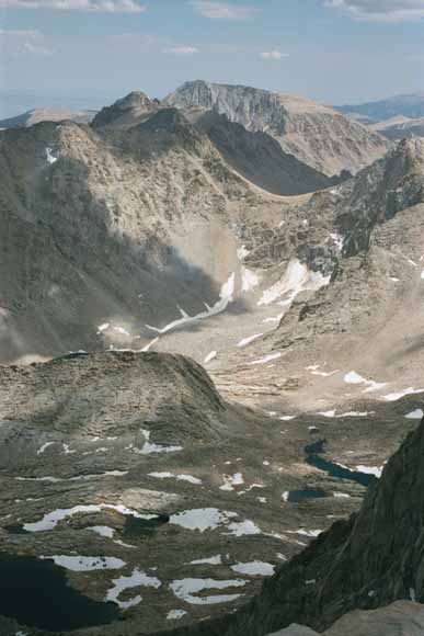
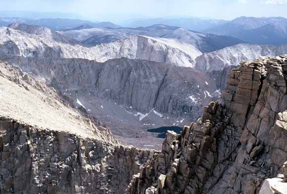
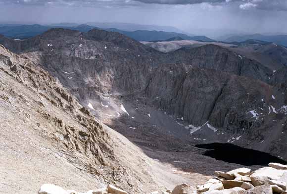
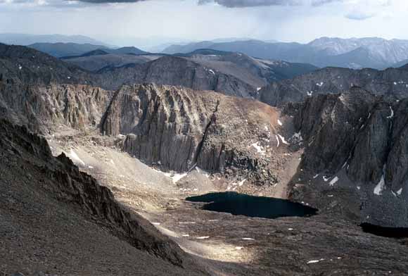
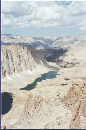
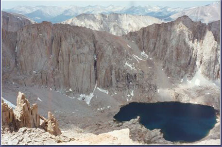
Crabtree Pass panorama (0207B-32).
Crabtree Pass panorama (0207B-33).
Crabtree Pass panorama (0207B-34).
Crabtree Pass panorama (0207B-35).
Crabtree Pass panorama (0207B-36).
Crabtree Pass panorama (0207B-37).
Crabtree Pass panorama (0207B-38).
Hiking back to camp at Sky Blue Lake (0207C-01).
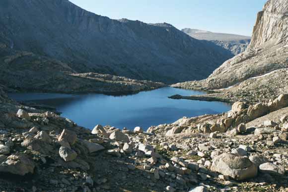
For lunch we stopped down there at Big Huge Lake (0207C-02).
(0207C-03).
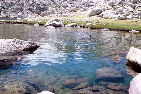
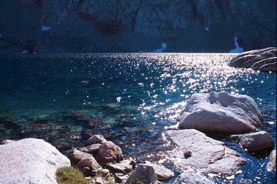
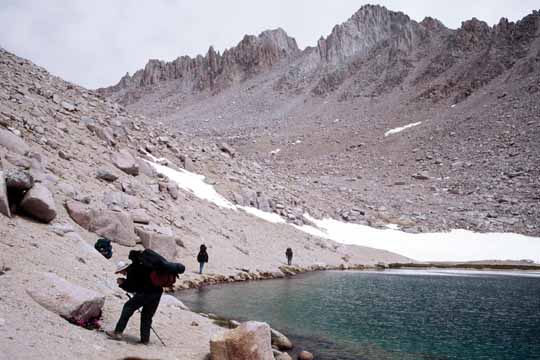
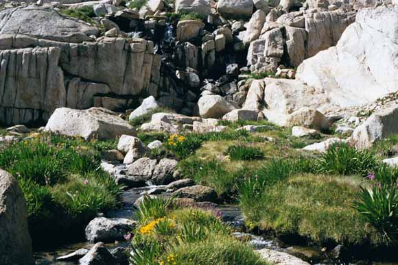
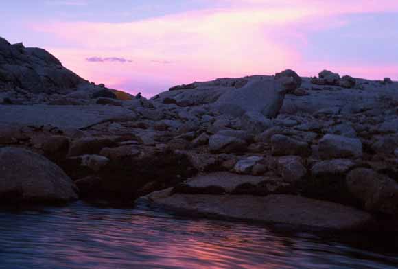
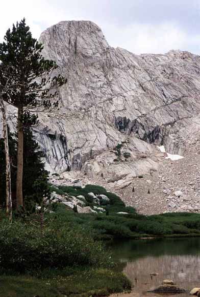
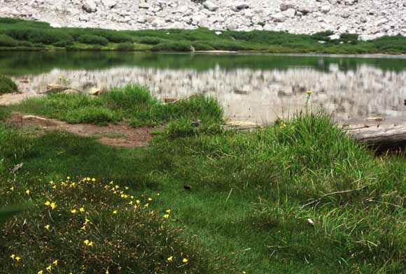
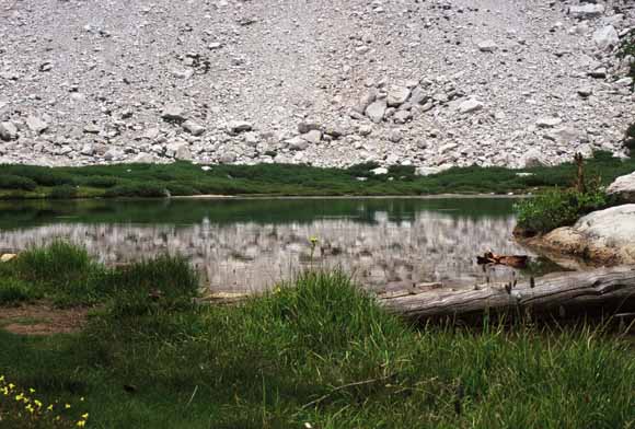
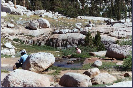
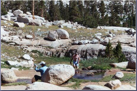
Sky Blue Lake has this wonderful shallow embayment that gets warm enough for swims (0207C-04).
Our revised plan was to hike back over the Sierran crest via Arc Pass to an east-side camp, hit the main Mount-Whitney trail a day later, and go to the summit that way. We had planned to go out this way anyhow at the end of the trip.
(Photo by Bob, 07_10_02_07_02_55AM).
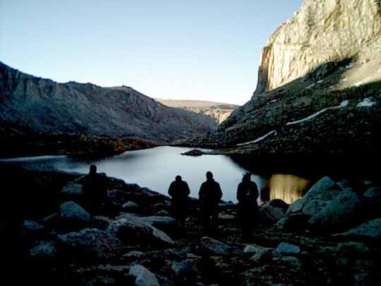
Arc Pass approach (0207C-05).
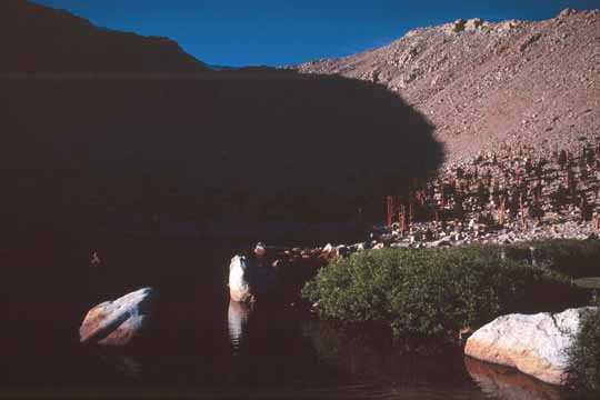
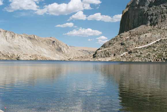
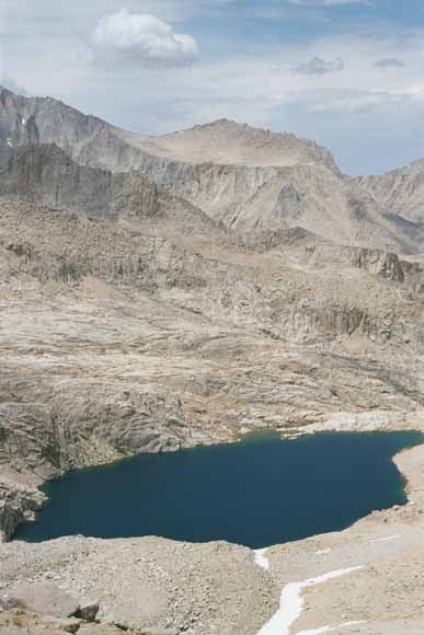
Lake below the west side of Arc Pass (0207C-06).
(0207C-07).
Nearly to the top of Arc Pass (Photo by Bob, 07_11_02_12_38_04PM).
Kind of Arc-shaped, isn't it? (0207C-08).
Top of Arc Pass (0207C-09).
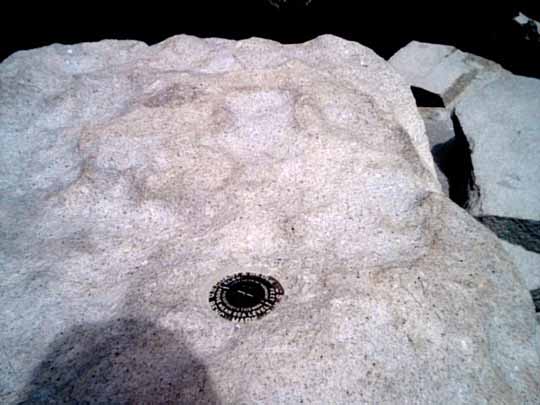
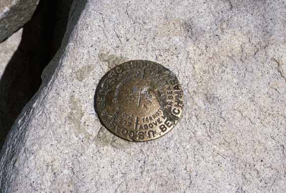
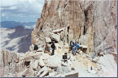
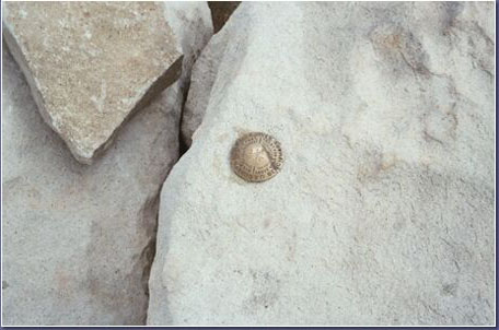
Bench Mark on Arc Pass (Photo by Bob, 07_12_02_02_35_43PM).
Bob (0207C-10).
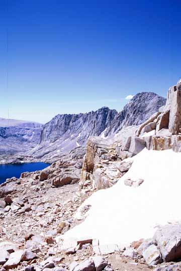
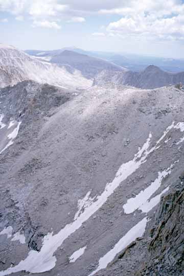
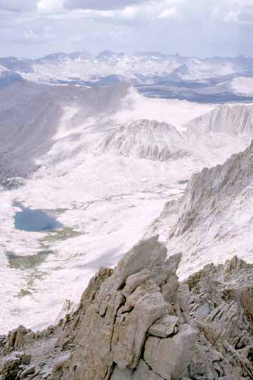
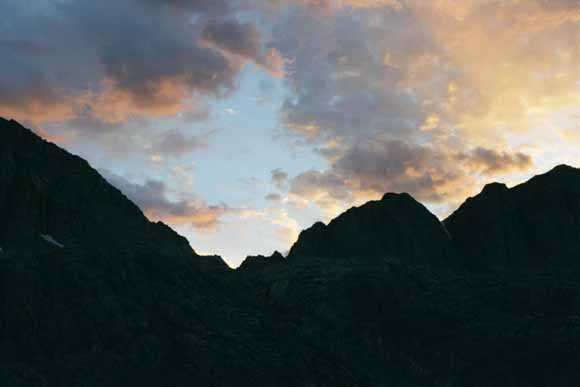
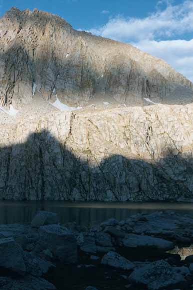
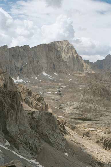
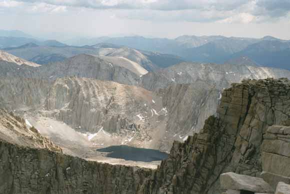
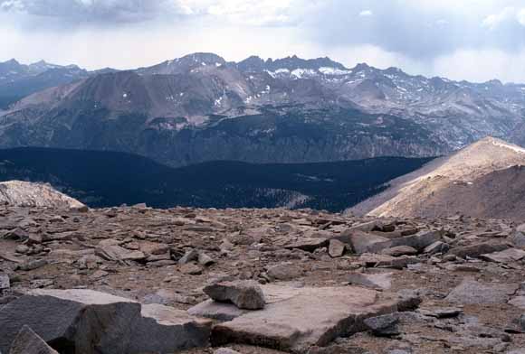
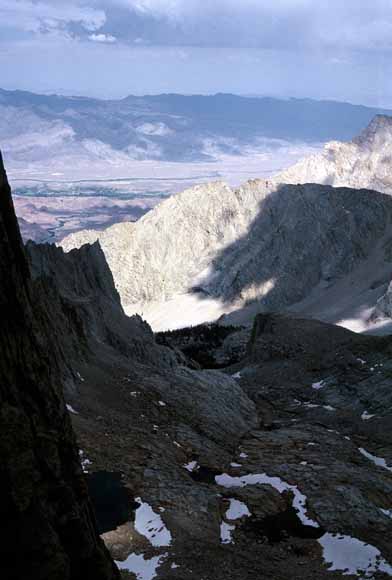
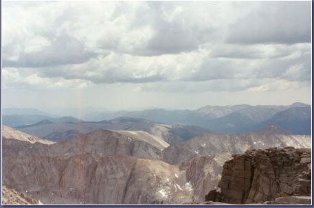
Arc Pass panorama (0207C-11).
Arc Pass panorama (0207C-12).
Arc Pass panorama (0207C-13).
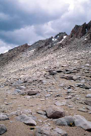
Arc Pass panorama (0207C-14).
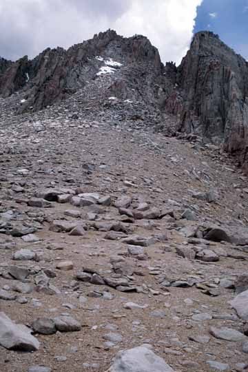
Arc Pass panorama (0207C-15).
Arc Pass panorama (0207C-16).
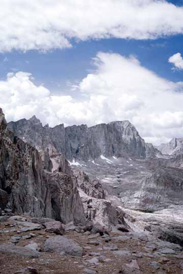
Arc Pass panorama (0207C-17).
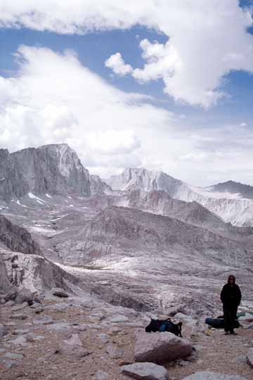
Arc Pass panorama (0207C-18).
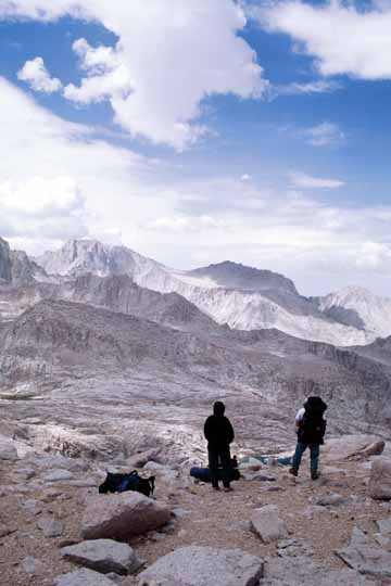
Arc Pass panorama (0207C-19).
Arc Pass panorama (0207C-20).
Arc Pass panorama (0207C-21).
Arc Pass panorama (0207C-22).

Arc Pass panorama (0207C-23).
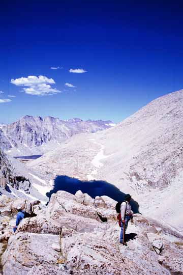
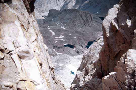
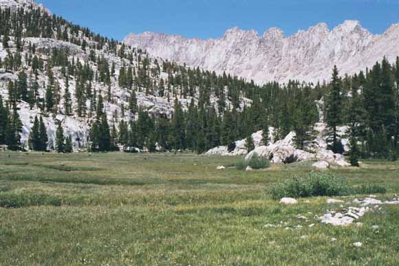
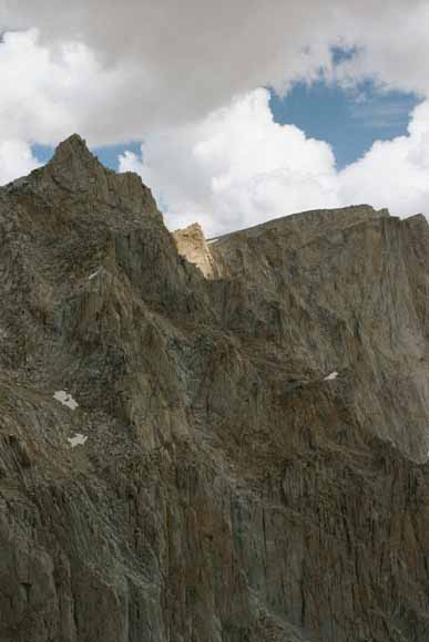
Whitney Pass (0207C-24).
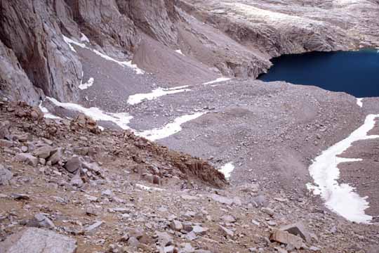
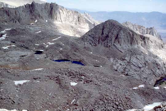
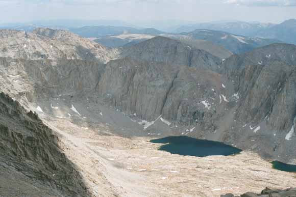
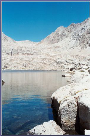
Moraine and Consultation Lake (0207C-25).
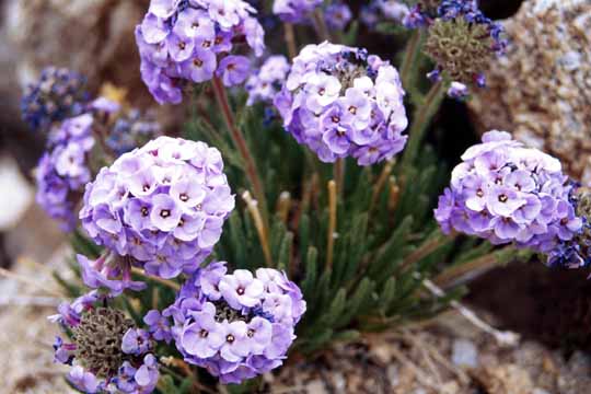
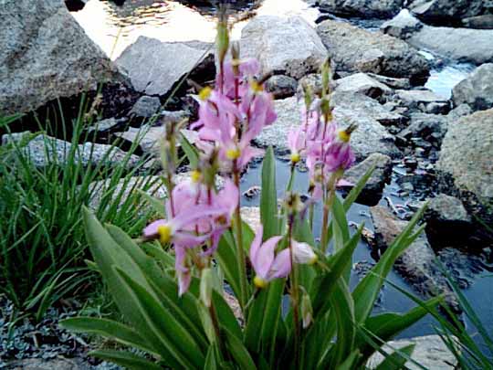
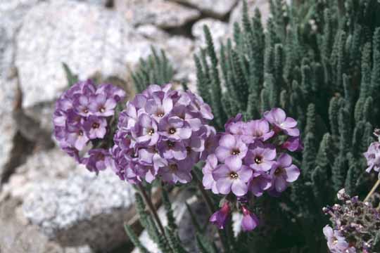
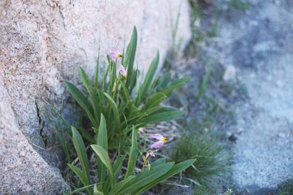
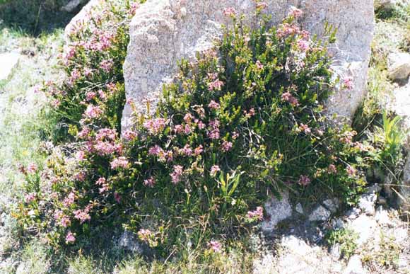
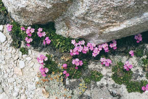
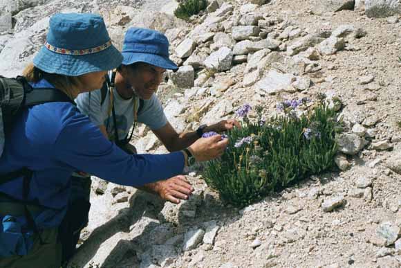
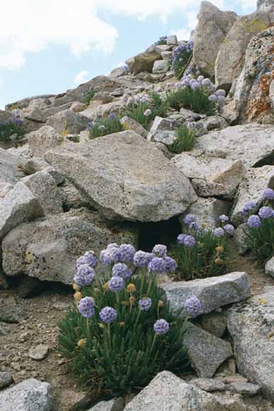
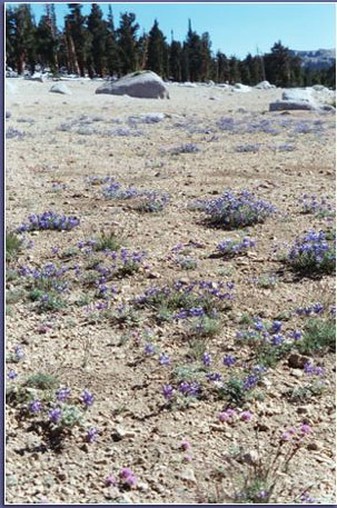
Polemonium (0207C-26).
Still on pass looking for a way to get off of this thing (0207C-27).
At this point, we left Sequoia National Park and returned to Inyo National Forest (0207C-28).
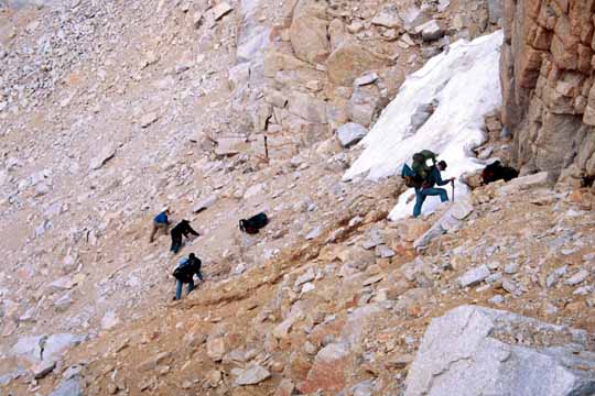
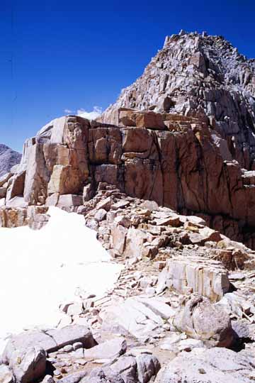
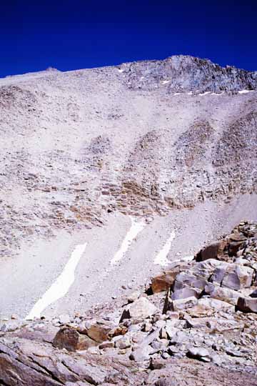
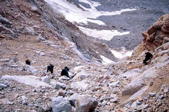
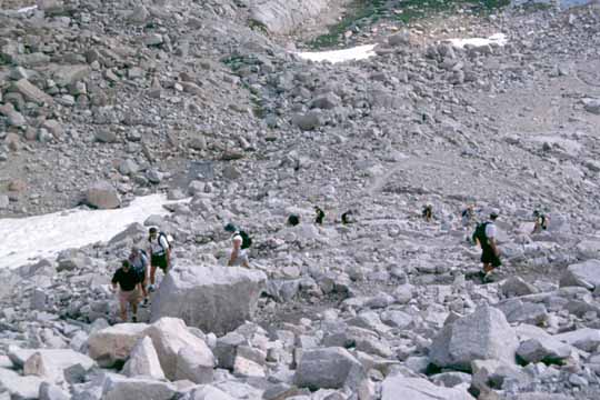
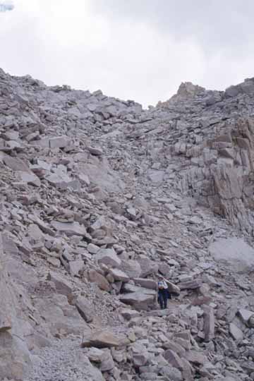
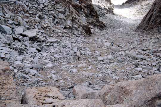
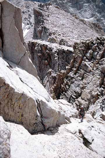
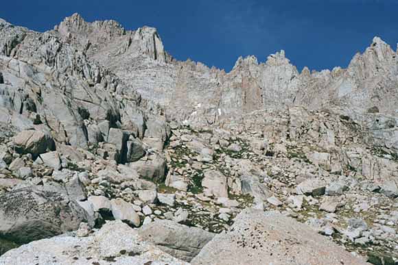
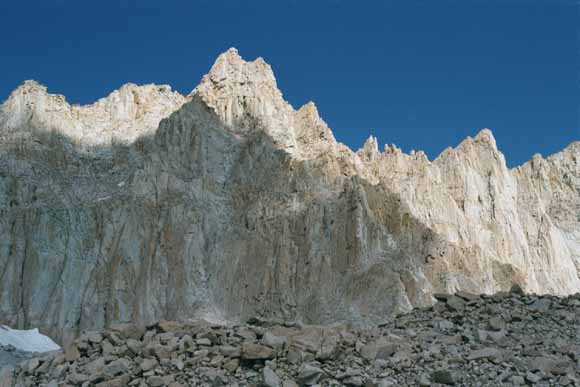
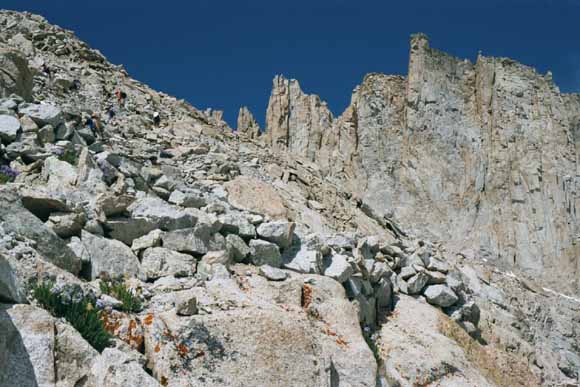
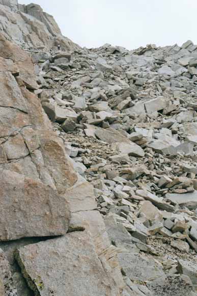
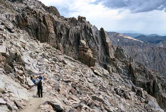
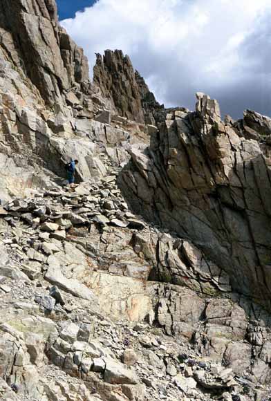
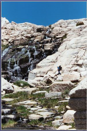
This was the most difficult part of the entire backpacking trip. It took us several hours to go less than a mile (0207C-29).
(0207C-30).
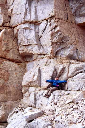
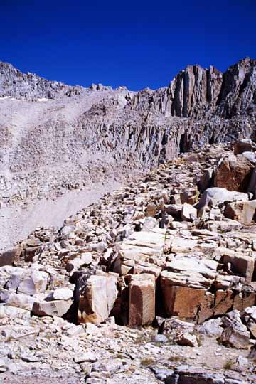
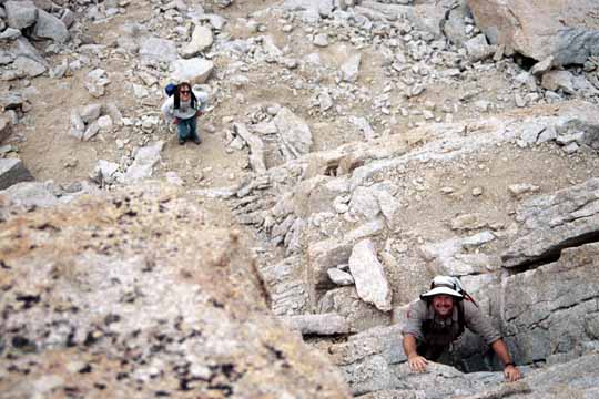
Carol made it across the talus to bedrock (0207C-31).
Note the nice overhang giving her shelter (0207C-32).
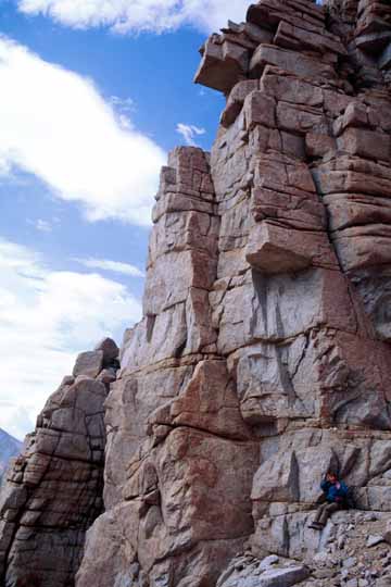
The outcrop tapered out just before the gray ledge loomed below, so we could slip between the two and continue to the right and down (0207C-33).
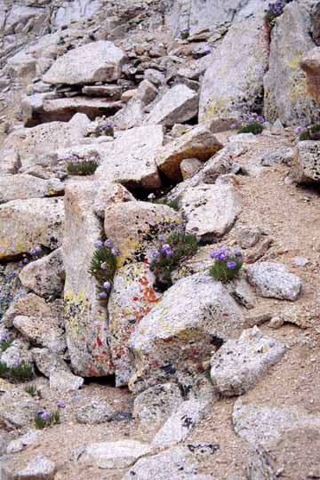
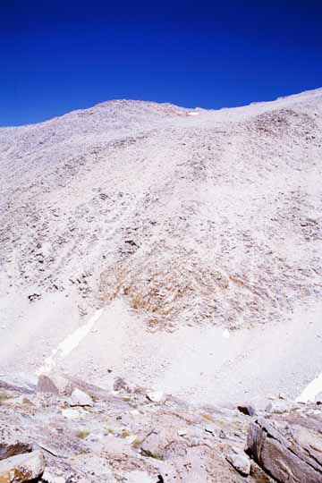
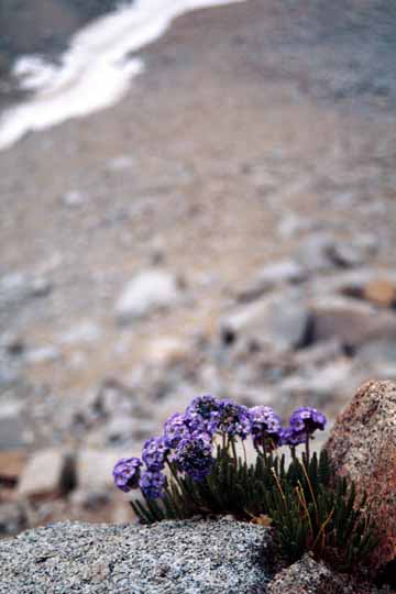
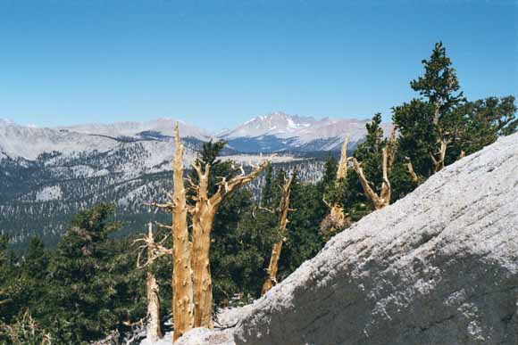
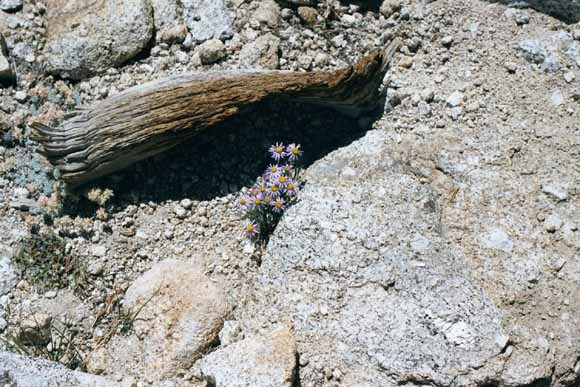
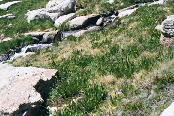
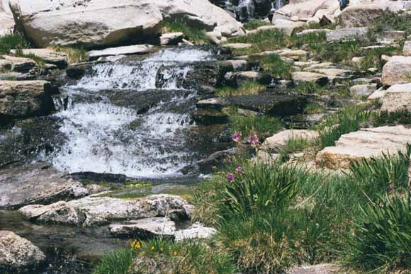
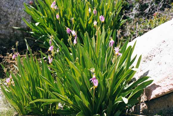
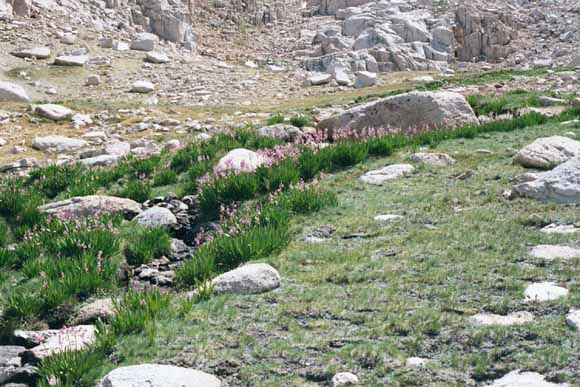
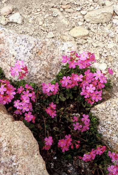
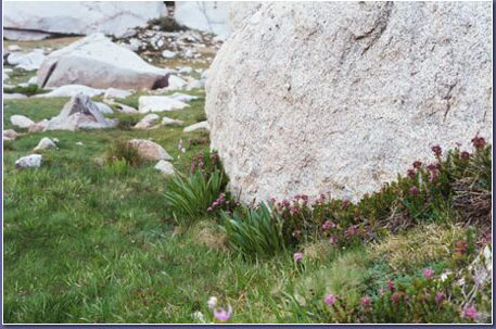
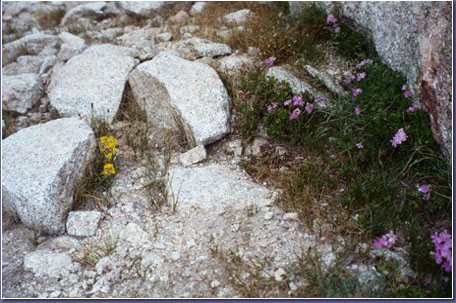
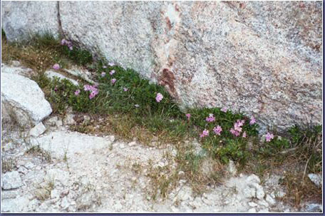
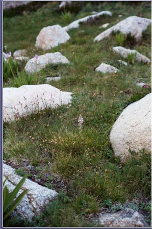
Polemonium only grows above 12,500 feet (0207C-34).
This little guy made its home on the edge of a cliff (0207C-35).
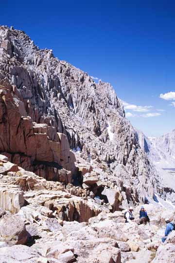
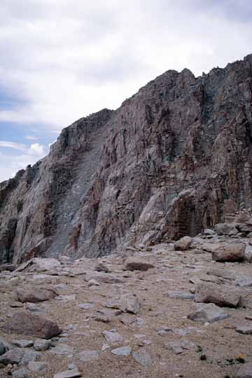
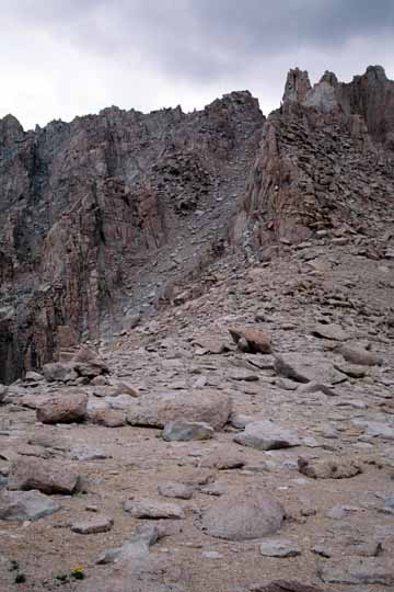
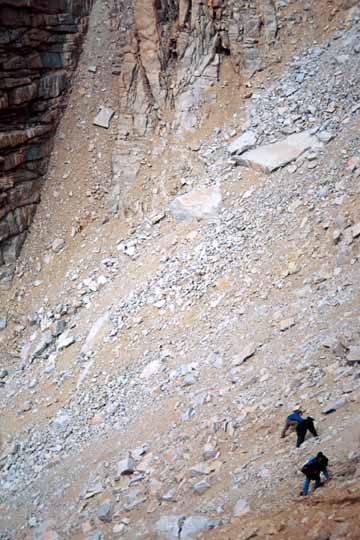
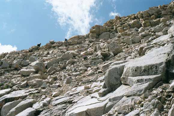
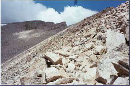
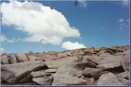
Talus, talus, and more talus (0207C-36).
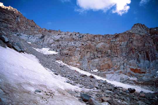
Looking back up whence we came (0207C-37).
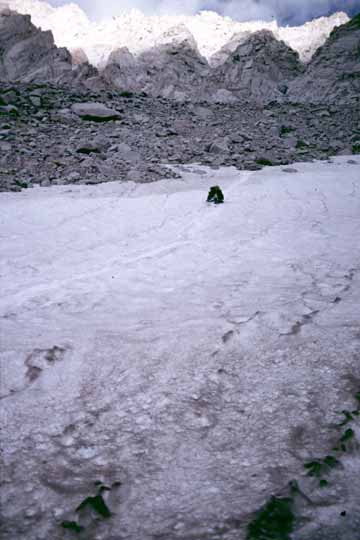
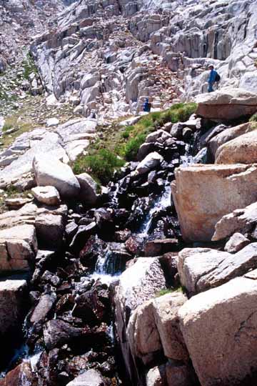
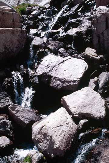
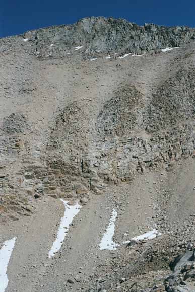
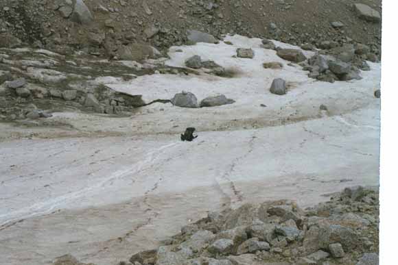
Near the bottom, we took advantage of snow that covered the talus and made for fun slides and easier walking (0207D-01).
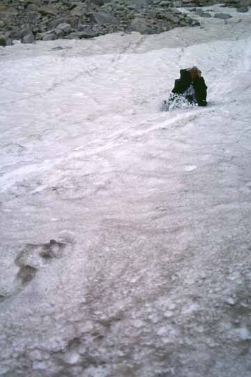
(0207D-02).
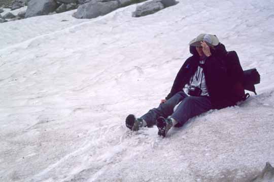
Gail with a much-needed smile on her face (0207D-03).
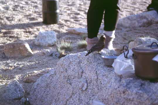
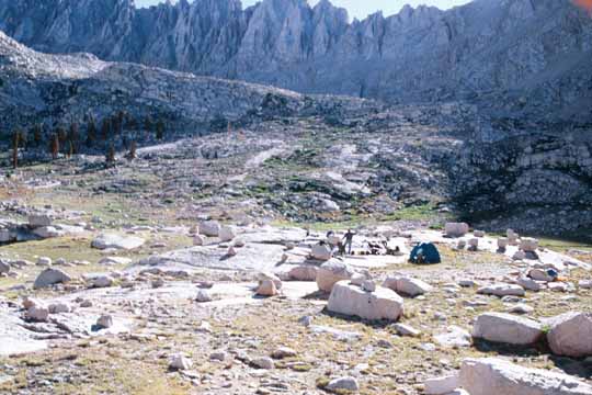
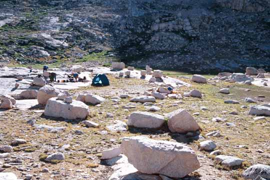
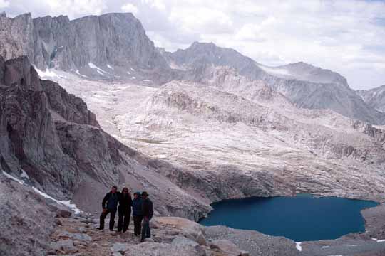
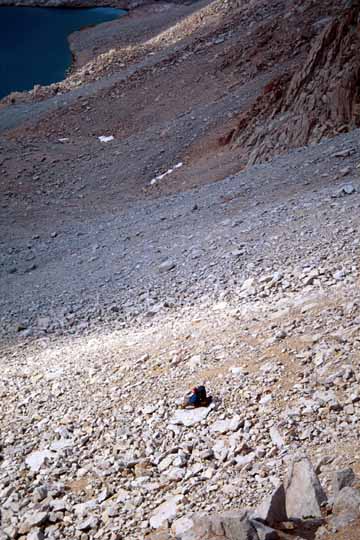
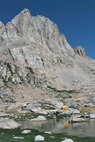
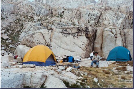
Five of us plus this bird made camp at the lower end of Consultation Lake (0207D-04).
We didn't need a pre-dawn start for this attempt; after all, there was an honest-to-gosh trail!
When we went up Whitney, we took off from Consultation lake and followed a gap in the rocks to a point where the main trail was just above us. We hollered at some hikers and asked where the trail was and they said they were on it. So Gail put in a waypoint there so we could catch the place where we had to leave the trail on the return trip. Note also how the marked trail on the Garmin topo map is a rough cartoon of what the actual trail was. That is not surprising since the CD-ROM that contains the topo coverage is for the entire western U.S.
East escarpment (0207D-05).
Carol kissing the trail (0207D-06).
Many hikers go the 3,000-foot elevation gain to Trail Camp in a day and go to the summit the next day. "Many" is an understatement; this is a solar-powered composting toilet (0207D-07).
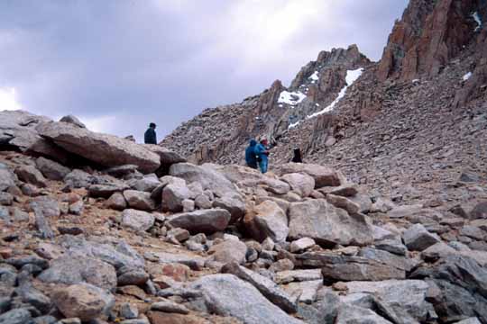
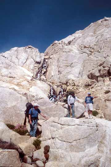
Climbers on the switchbacks (0207D-08).
Polemonium (0207D-09).
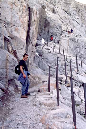
This trail even had a rail in one spot (0207D-10).
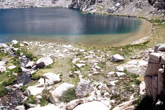
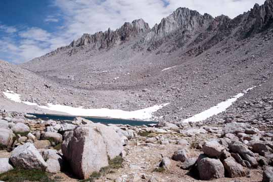
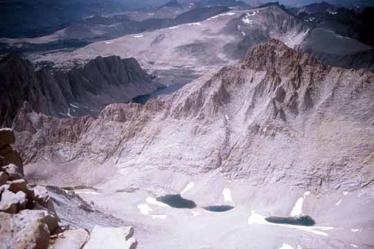
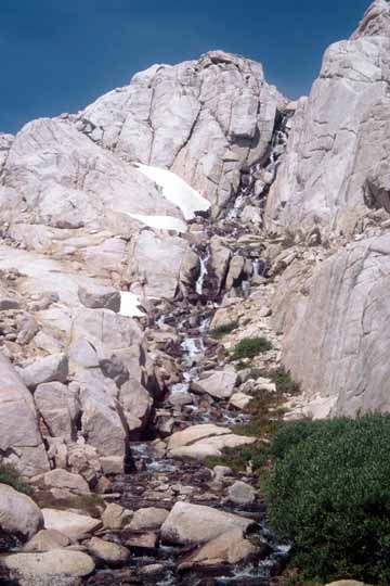
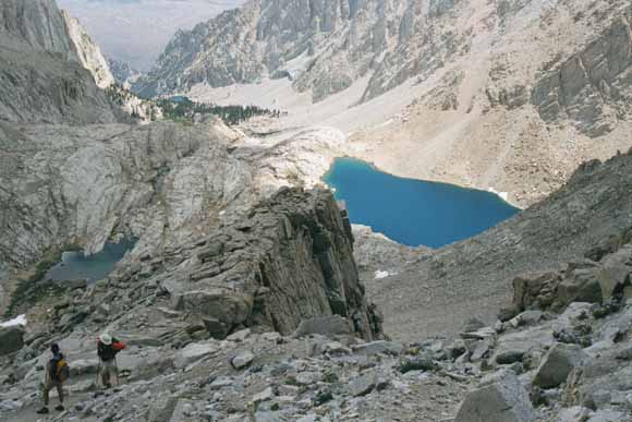
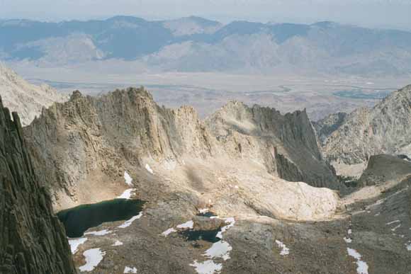
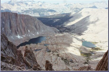
Paternoster lakes (0207D-11).

Once to Trail Crest, we leave the Inyo National Forest and enter Sequoia National Park once again (0207D-12).
Mike at Trail Crest (Photo by Bob, 07_12_02_11_37_35AM).
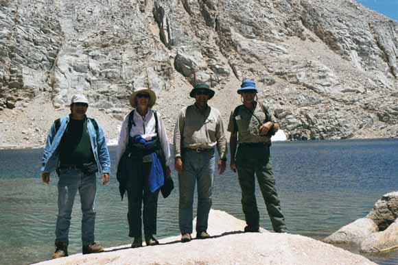
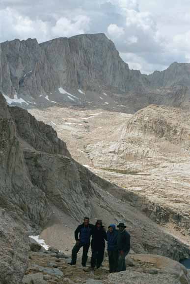
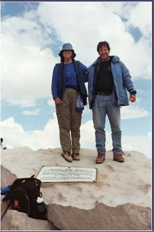
Four of us on Trail Crest (Chris went fishing this day (0207D-14).
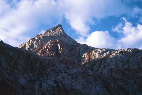
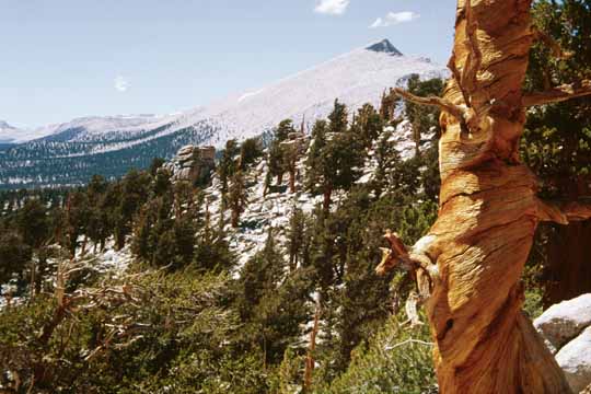
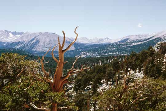
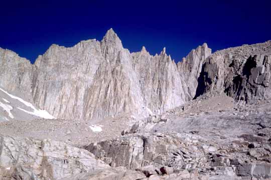
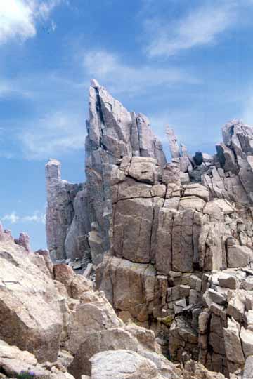
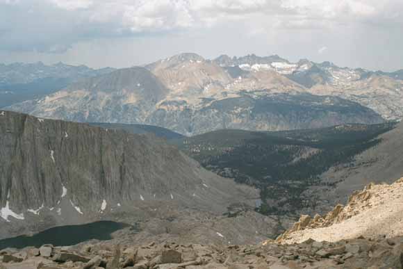
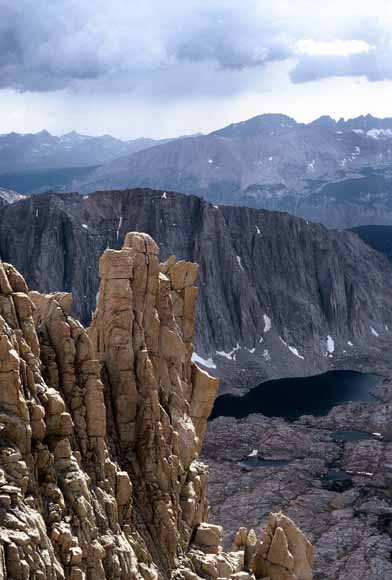
Discovery Pinnacle (0207D-15).
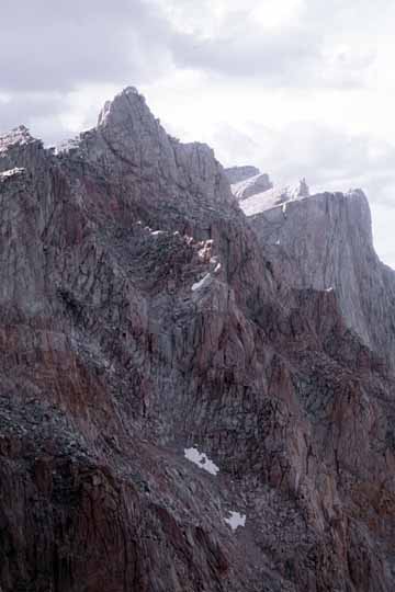
The flat-topped peak on the far skyline is Table and the pointed one to its right is Thunder (0207D-16).
Bob (0207D-17).
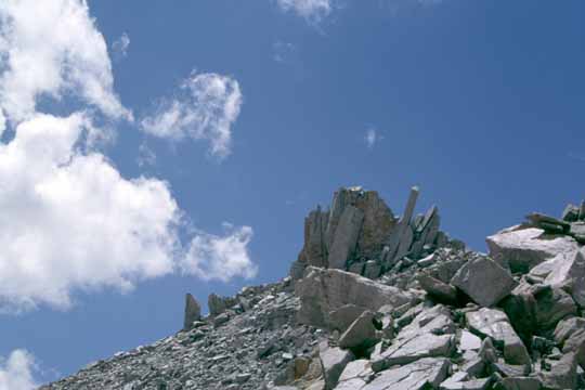
Discovery Pinnacle (0207D-18).
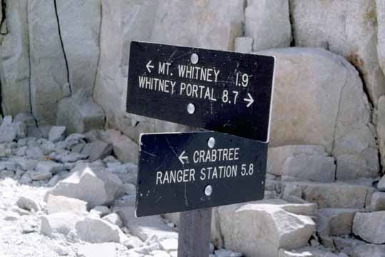
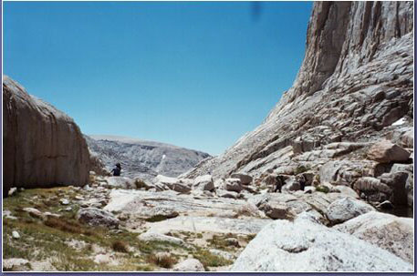
Crabtree junction (0207D-19).
Gail (0207D-20).
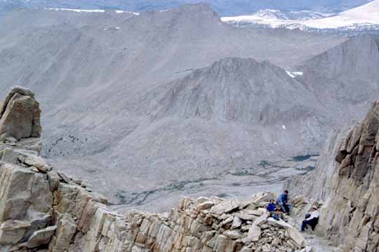
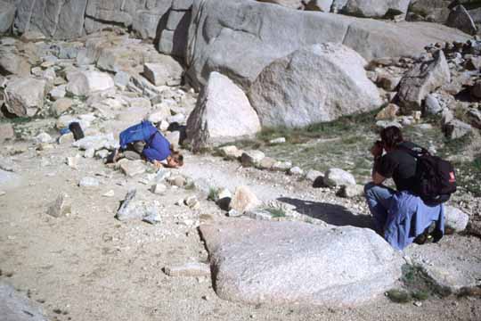
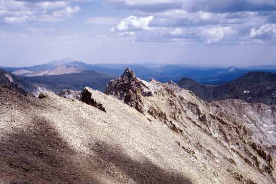
Lunch stop. I parted ways with the others here. They went on up to Mt. Whitney and I climbed Mt. Muir (0207D-21).

Whitney Pass from the saddle south of Mt. Muir (0207D-22).
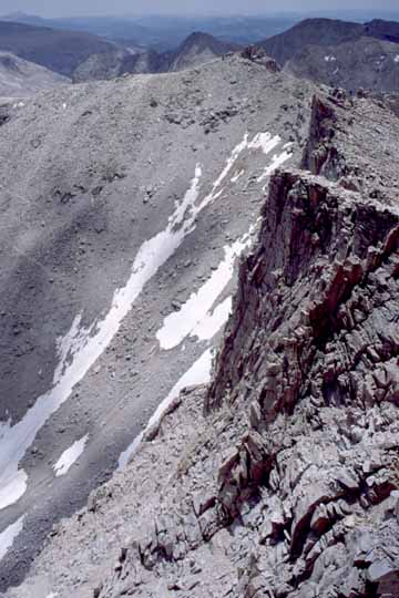
Crabtree Pass, where we were three days earlier, is hidden behind Discovery Pinnacle (0207D-23).
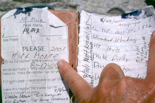
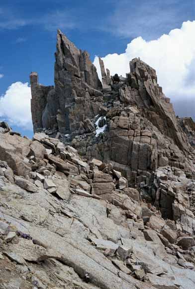
The register on the summit of Mt. Muir (14,012') is eleven years old (0207D-24).
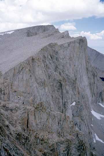
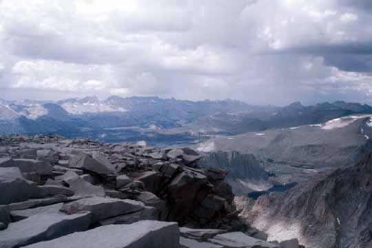
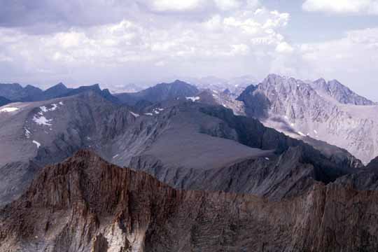
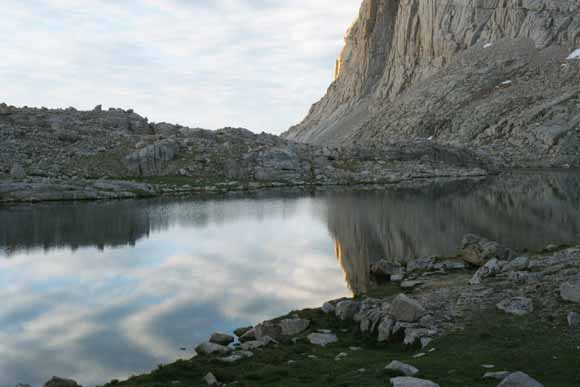
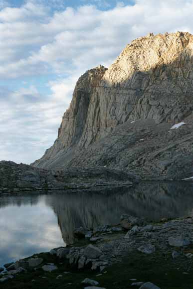
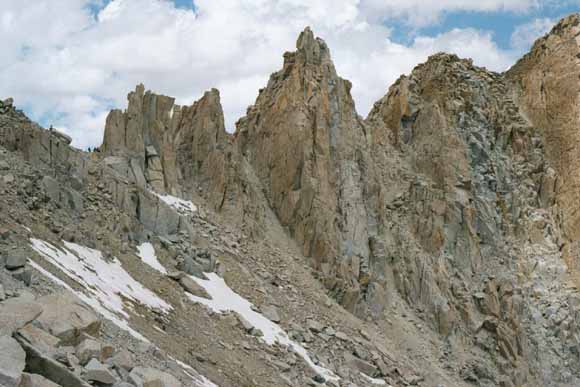
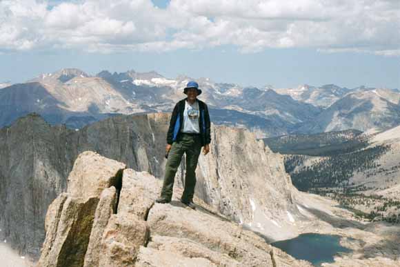
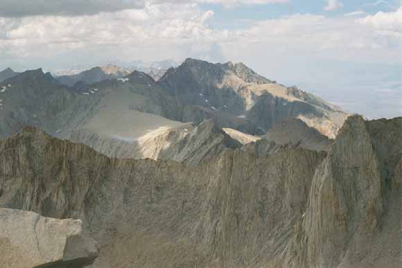
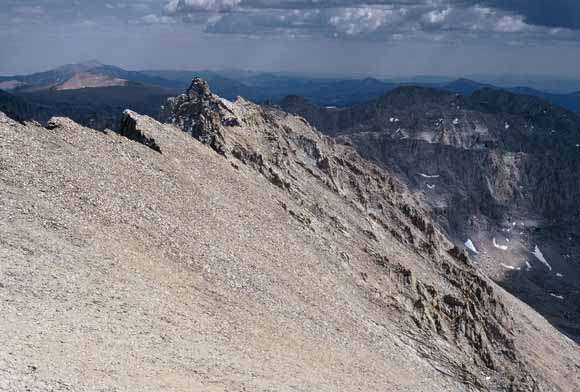
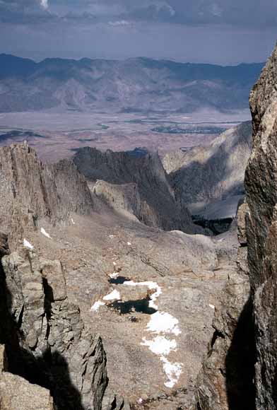
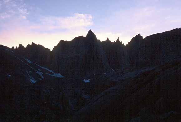
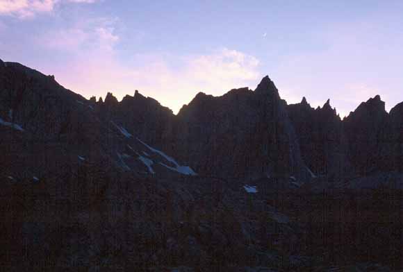
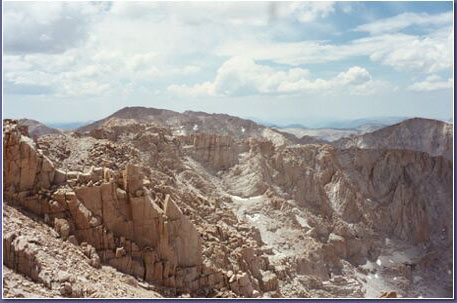
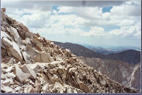
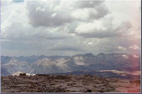
Mt. Muir panorama (0207D-25).
Mt. Muir panorama (0207D-26).
Mt. Muir panorama (0207D-27).
Mt. Muir panorama (0207D-28).
Mt. Muir panorama (0207D-29).
Mt. Muir panorama (0207D-30).
Mt. Muir panorama (0207D-31).
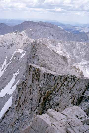
Mt. Muir panorama (0207D-32).
Mt. Muir panorama (0207D-33).
Mt. Muir panorama (0207D-34).
Mt. Muir panorama (0207D-35).
Mt. Muir panorama (0207D-36).
Mt. Muir panorama (0207E-01).
Mt. Muir panorama (0207E-02).
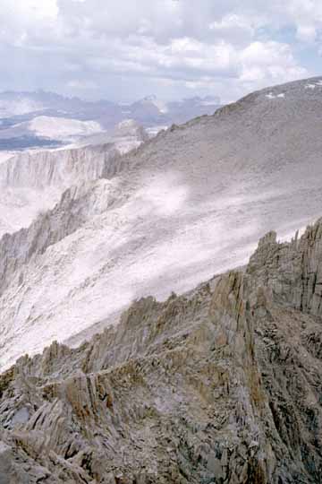
Mt. Muir panorama (0207E-03).
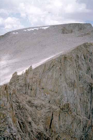
Mt. Muir panorama (0207E-04).
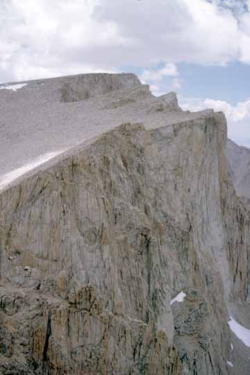
Mt. Muir panorama (0207E-05).
Mt. Muir panorama (0207E-06).
Two other climbers joined me later (0207E-07).
Discovery Pinnacle (0207E-08).
(0207E-09).
I got Patrick's email address so I can send him these shots (0207E-10).
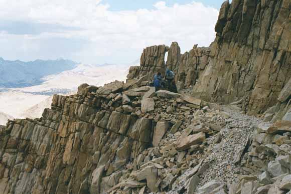
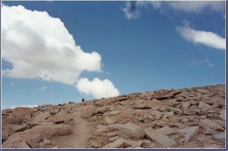
Back off of Mt. Muir, I took the trail to catch up with the others. Where the trail passes these notches in the crest, they are called Windows (0207E-11).
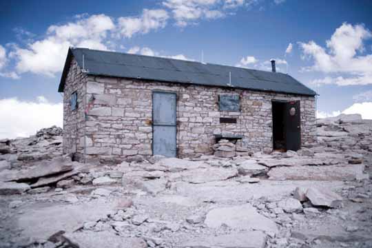
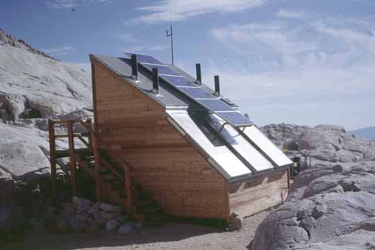
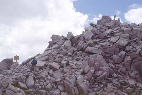
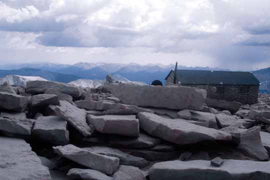
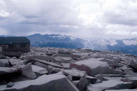
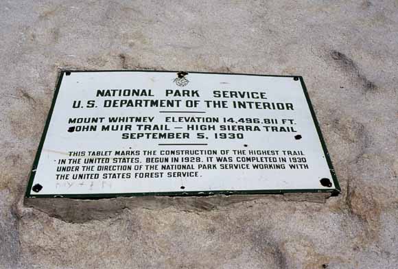
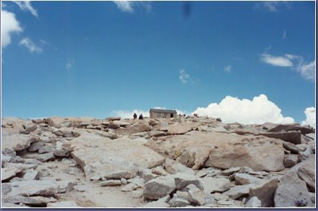
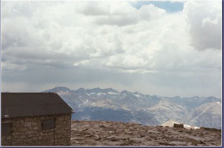
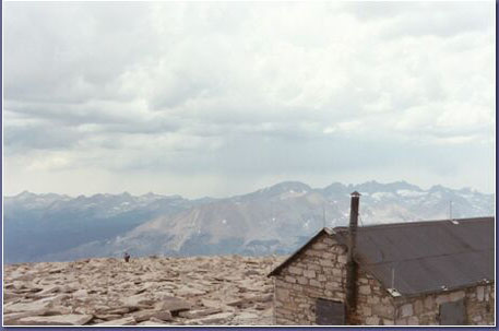
The summit shelter. According to the folks at the Whitney Portal Store, the idea to construct a hut on the summit of Whitney was formed after the first recorded death on the mountain on July 26 1904 of Bryd Surby. It was completed in the summer of 1909 with funding from the Smithsonian Institute. (0207E-12).
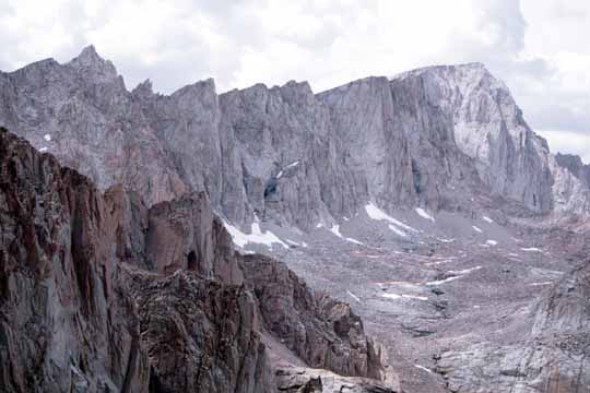
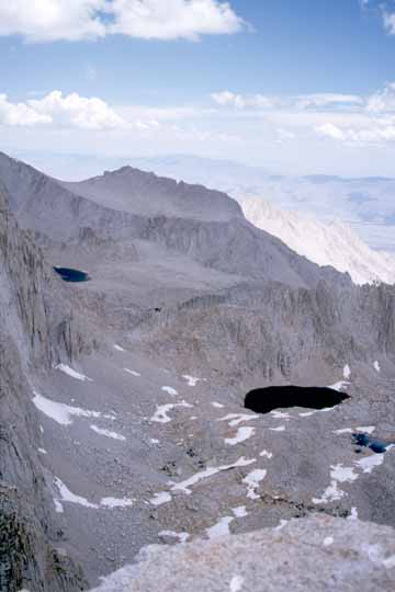
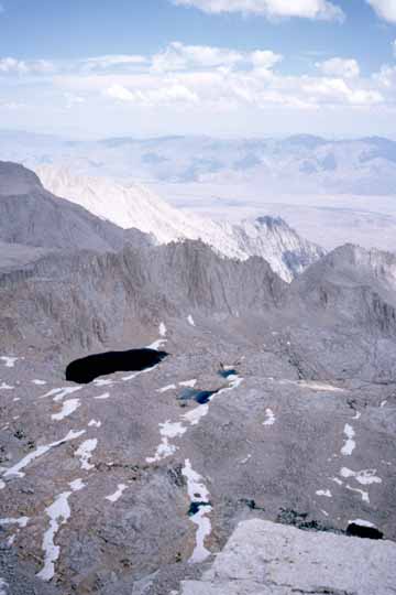
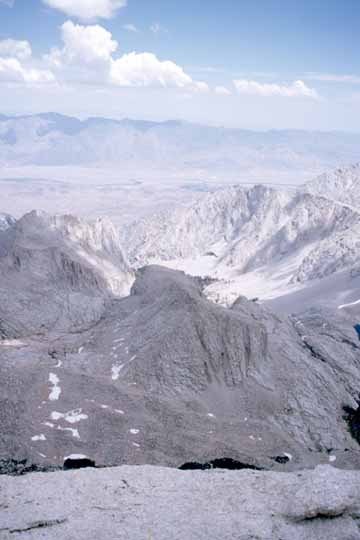
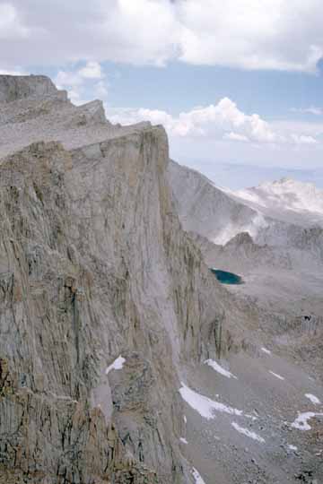
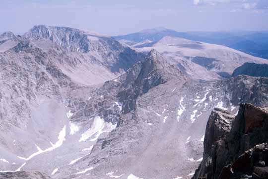
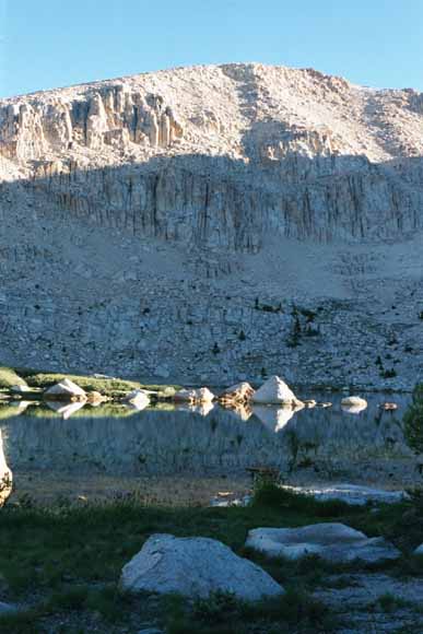
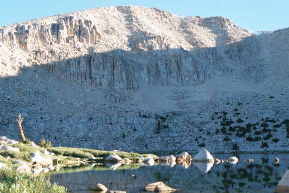
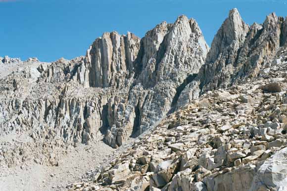
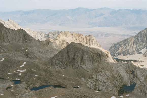
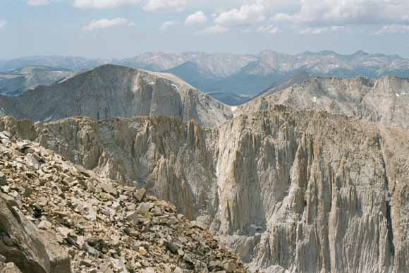
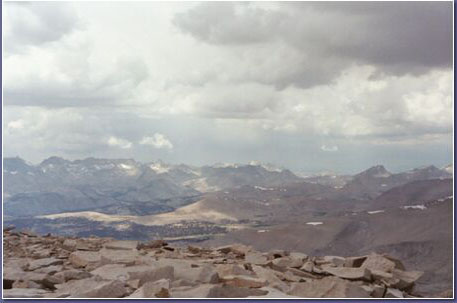
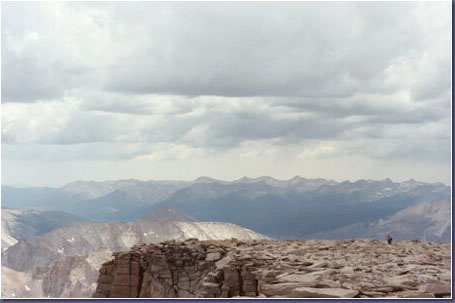
Whitney panorama (0207E-13).
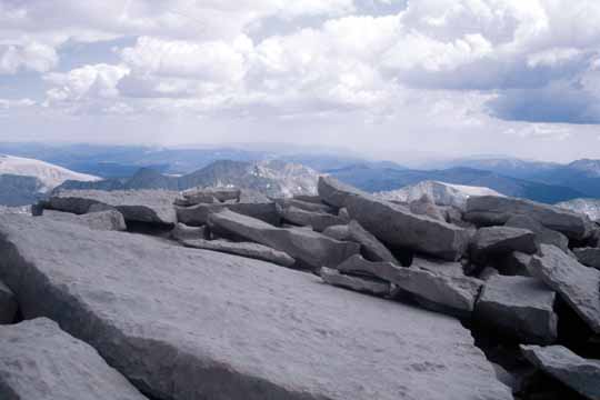
Whitney panorama (0207E-14).
Whitney panorama (0207E-15).
Whitney panorama (0207E-16).
Whitney panorama (0207E-17).
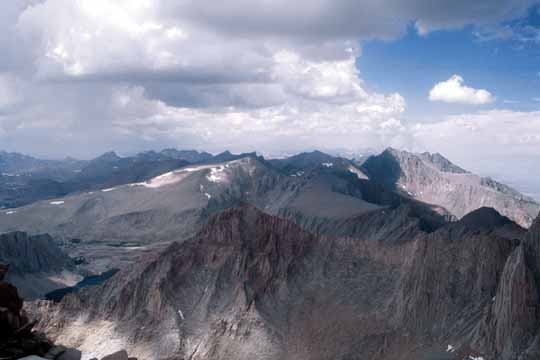
Whitney panorama (0207E-18).
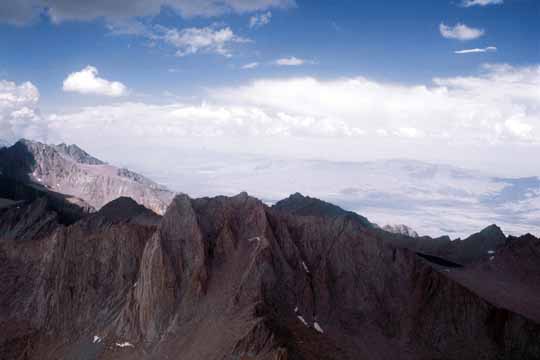
Whitney panorama (0207E-19).
Whitney panorama (0207E-20).
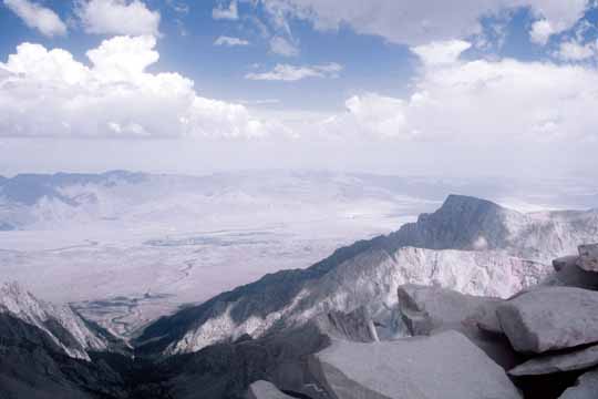
Whitney panorama (0207E-21).
Whitney panorama (0207E-22).
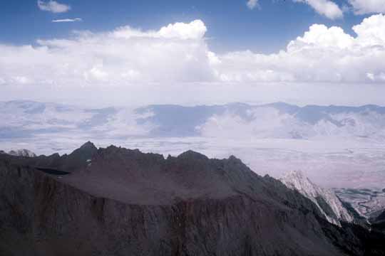
Mt. Williamson (14,370'). I climbed that one last summer with my niece (0207E-23).
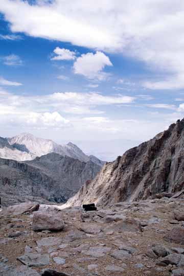
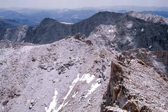
Arc Pass, Whitney Pass, and barely visible Crabtree Pass! (0207E-24).
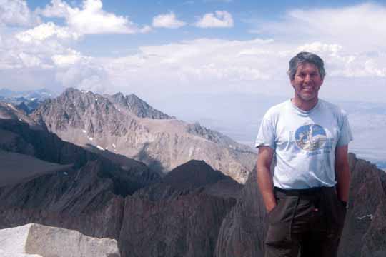
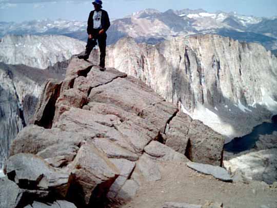
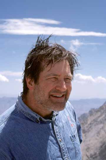
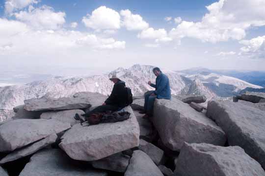
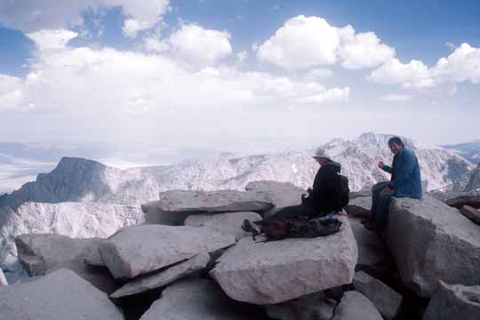
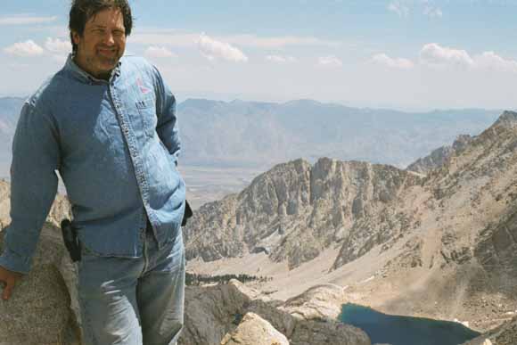
Mike on the summit (0207E-25).
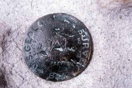
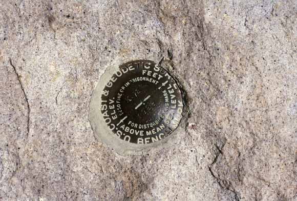
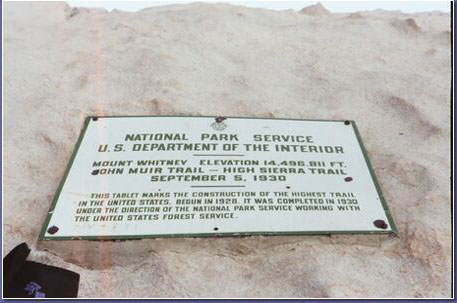
USGS bench mark (0207E-26).
(0207E-27).
(0207E-30).
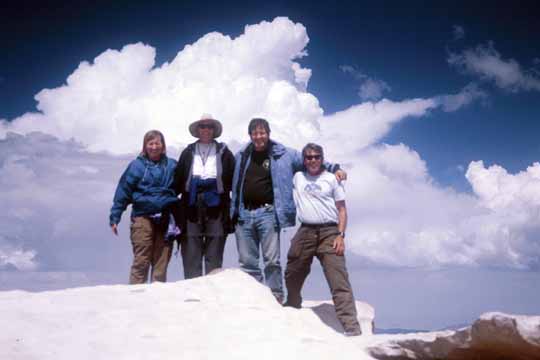
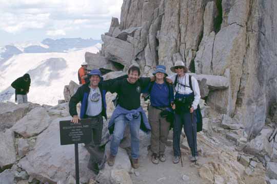
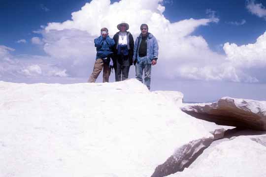
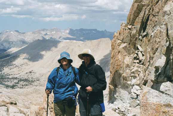
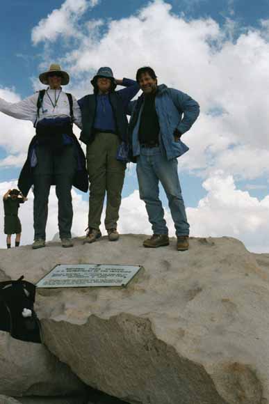
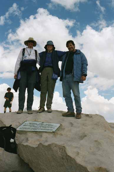
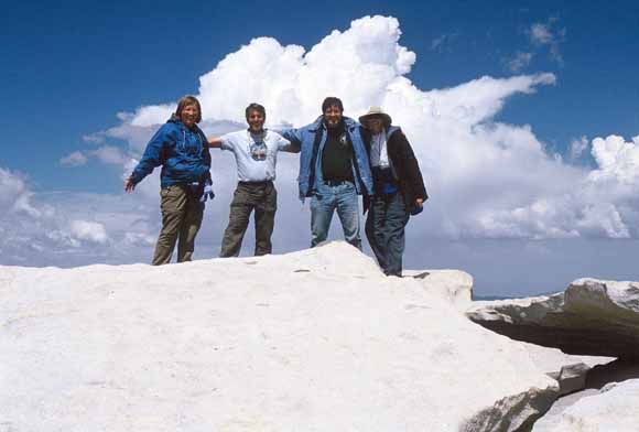
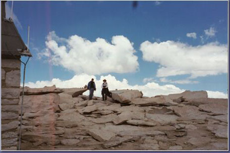
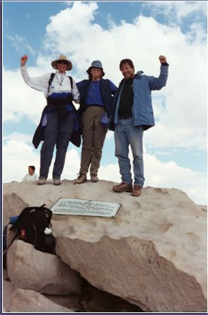
The four of us on the summit (0207E-31).
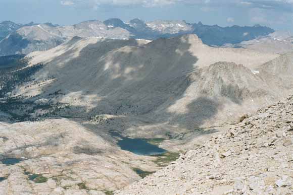
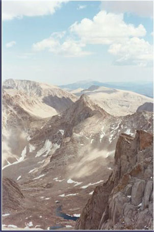
Headwaters of Wallace Creek (0207E-32).
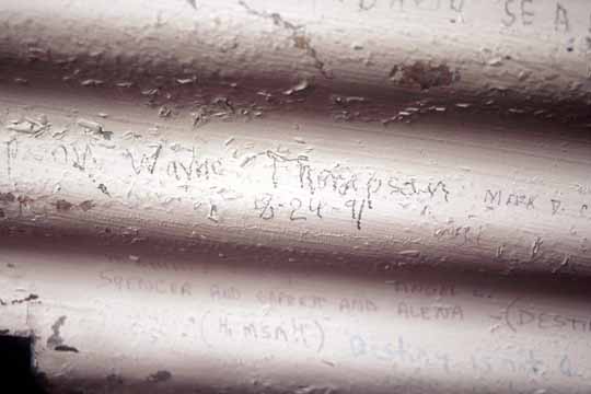
Our friend Wayne Thompson was here 11 years ago. He told us where to find his name among the hundreds of others inside the shelter (0207E-33).
Mt. Muir as seen from the trail on the way back down (0207E-34).
(0207E-35).
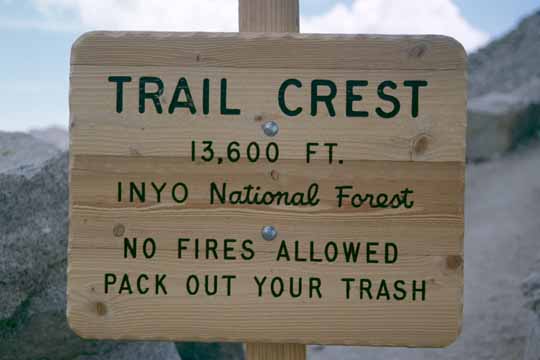
Once we hit Trail Crest again, we left Sequoia National Park again and entered Inyo National Forest... again (0207D-13).
Mt. Muir (0207E-36_Mt_Muir).
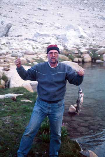
While we were twittering away the day, Chris caught the largest trout he's ever caught in the Sierra (0207E-37).
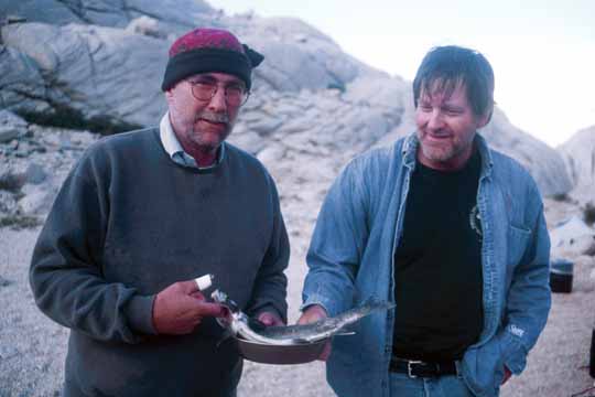
What's wrong with this picture? (0207F-01).
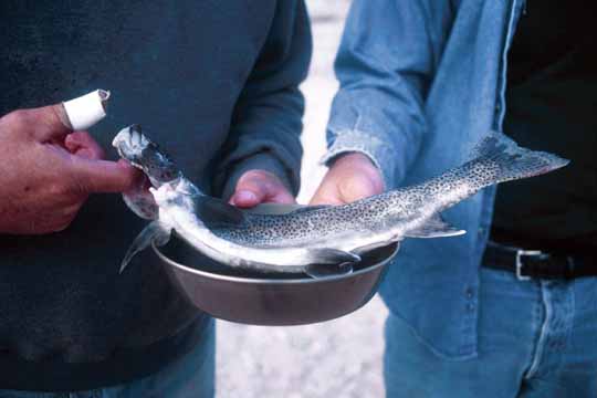
Big fish in a small pan (0207F-02).
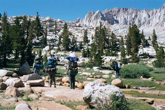
We still had to get down our creek to the trail and descend 3,000 feet to the road. Bob chanted "Burgers, Shakes, and Fries!"
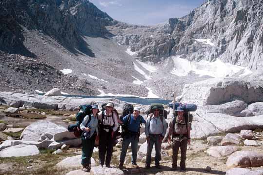
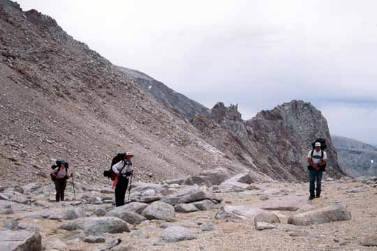
The five of us, saddled up, with the dreaded Arc Pass in the background glowering at us (0207F-03).
We got another fisherperson to take this for us (0207F-05).
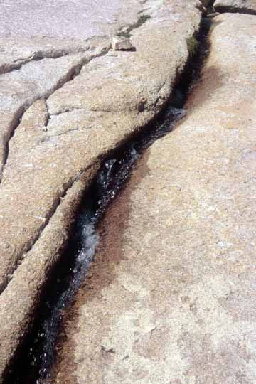
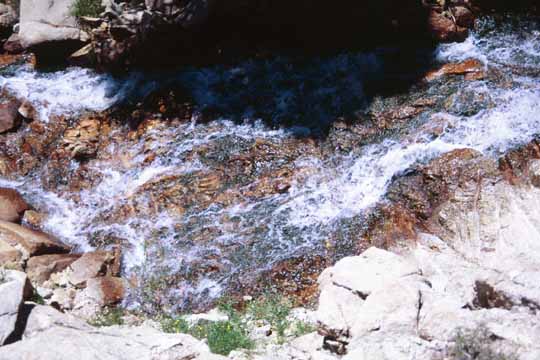
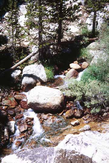
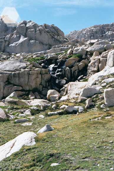
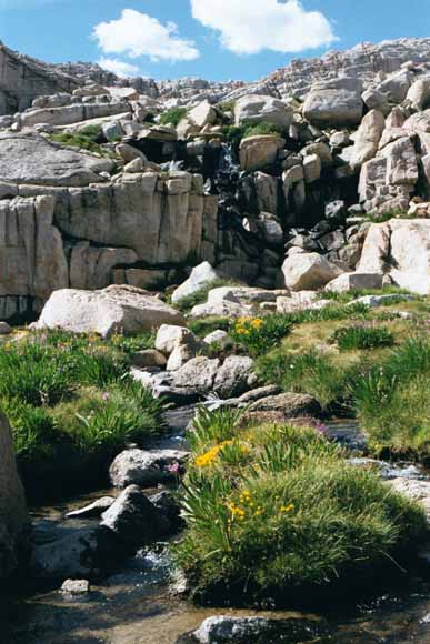
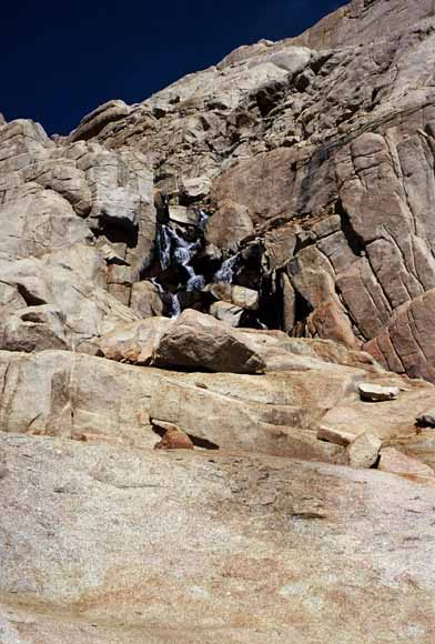
Creeks start out small... (0207F-06).
(0207F-07).
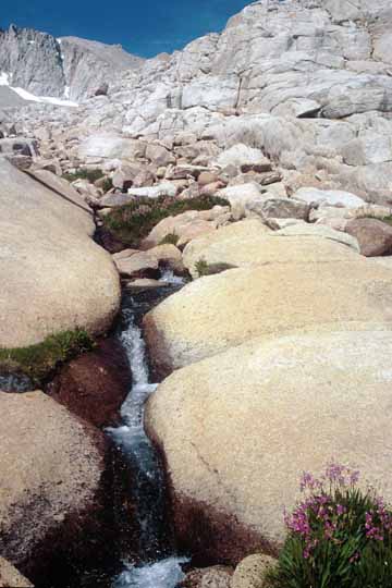
...and get bigger (0207F-08).
"Go that way" (0207F-09).
(0207F-10).
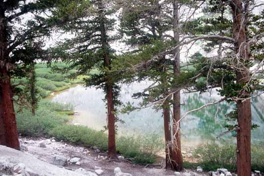
Mirror Lake (0207F-11).
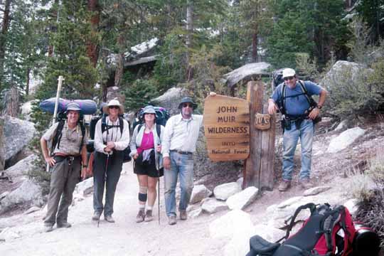
Leaving the John Muir Wilderness (0207F-13).
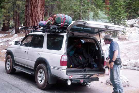
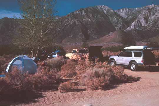
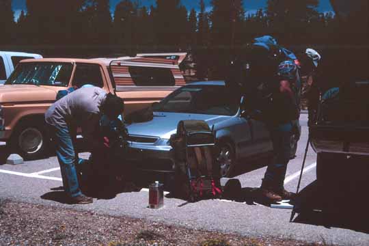
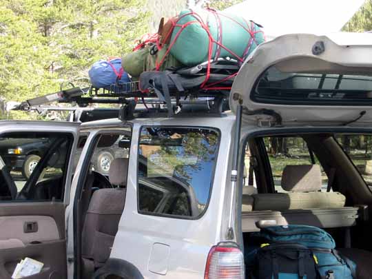
We loaded my car, got ice cream and T shirts at the Whitney Portal Store and headed to Lone Pine to find a motel. (0207F-15).
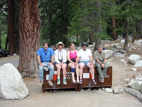
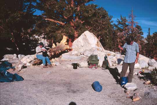
The five of us, after loading the car, ready for a beer (020713-1653).
This shot and the next image look similar (020713-1656).
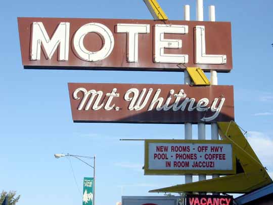
We figured this was an appropriate name for a motel for us (020713-1657).
Bob before his shower (020713-1661).
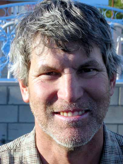
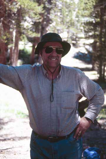
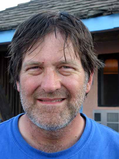
Mike before his shower. We had some cold Mojave Red from Indian Wells Brewing Company, showered, put on clean clothes, and had a grand dinner with wine that evening (020713-1662).
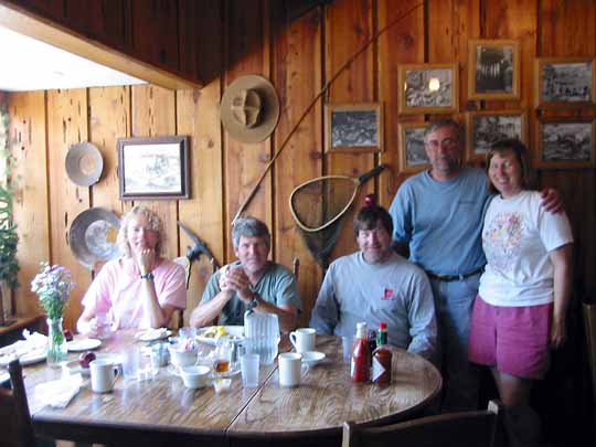
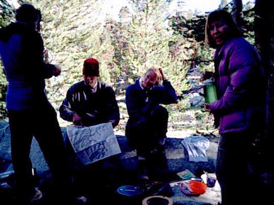
Breakfast Bunch the morning before we parted ways and went home (020714-1663).
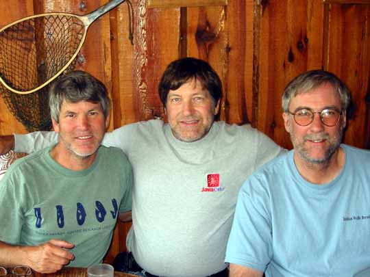
The three old graybeards after a week in the backcountry (020714-1666).
Greetings as we left town (020714-1668).
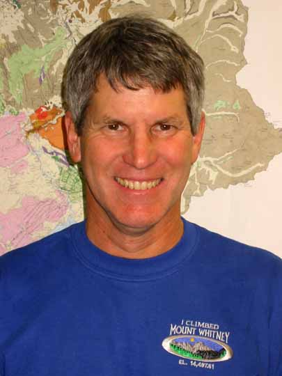
Gail bought us all "Team shirts." Here is mine --Mike (Photo by Sara Boore) (020725-1705).
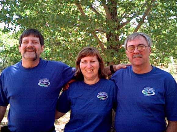
OK the Rush's and Kohlenbergers finally got together, (after Marla & Brian's auspicious wedding event), and had Mark, brother of Chris, expose a CCD camera to these Boomer mugs: Thanks again to Gail for the stylish shirts, to Carol for the pretentious patches, and to Mike for the kick-ass web site! --Bob (08_11_02_10_33_23AM).
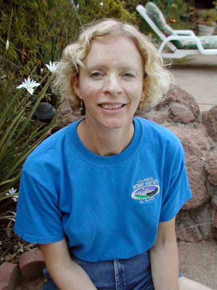
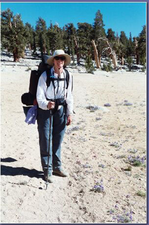
Well here's a picture for you in my "I climbed" shirt. I'm kinda squinty but, oh well. --Gail (gailsface2).
(G0207A-03).
(G0207A-04).
(G0207A-05).
(G0207A-06).
(G0207A-07).
(G0207A-08).
(G0207A-09).
(G0207A-10).
(G0207A-11).
(G0207A-12).
(G0207A-13).
(G0207A-14).
(G0207A-15).
(G0207A-16).
(G0207A-17).
(G0207A-18).
(G0207A-19).
(G0207A-20).
(G0207A-21).
(G0207A-22).
(G0207A-23).
(G0207A-24).
(G0207A-25).
(G0207A-26).
(G0207A-27).
(G0207A-28).
(G0207A-29).
(G0207A-30).
(G0207A-31).
(G0207A-32).

(G0207A-33).
(G0207A-34).
(G0207A-35).
(G0207A-36).
(G0207A-37).
(G0207B-02).
(G0207B-03).
(G0207B-04).
(G0207B-05).
(G0207B-06).
(G0207B-07).
(G0207B-08).
(G0207B-09).
(G0207B-11).

(xxx).
(G0207B-12).
(G0207B-13).
(G0207B-14).
(G0207B-15).
(G0207B-16).
(G0207B-17).
(G0207B-18).
(G0207B-19).
(G0207B-20).
(G0207B-21).
(G0207B-22).
(G0207B-23).
(G0207B-24).
(G0207B-25).
(G0207B-26).
(G0207B-27).
(G0207B-28).
(G0207B-29).
(G0207B-30).
(G0207B-31).
(G0207B-32).
(G0207B-33).
(G0207B-34).
(G0207B-35).
(G0207B-36).
(G0207B-37).
(G0207C-02).
(G0207C-03).
(G0207C-04).
(G0207C-05).
(G0207C-06).
(G0207C-07).
(G0207C-08).
(G0207C-09).
(G0207C-10).
(G0207C-11).
(G0207C-12).
(G0207C-13).
(G0207C-14).
(G0207C-15).

(G0207C-16).
(G0207C-17).
(G0207C-18).
(G0207C-19).
(G0207C-20).
(G0207C-21).
(G0207C-22).
(G0207C-23).
(G0207C-24).
(G0207C-25).
(G0207C-26).
(G0207C-27).
(G0207C-28).
(G0207C-29).
(G0207C-30).
(G0207C-31).
(G0207C-32).
(G0207C-33).
(G0207C-34).
(G0207C-35).
(G0207C-36).
(G0207D-02).
(G0207D-03).
(G0207D-04).
(G0207D-05).
(G0207D-06).
(G0207D-07).
(G0207D-08).
(G0207D-09).
(G0207D-10).
(G0207D-11).
(G0207D-12).
(G0207D-13).
(G0207D-14).
(G0207D-15).
(G0207D-16).
(G0207D-17).
(G0207D-18).
(G0207D-19).
(G0207D-20).
(G0207D-21).
(G0207D-22).
(G0207D-23).
(G0207D-24).
(G0207D-25).

(G0207D-26).
(G0207D-27).
(G0207D-28).
(G0207D-29).
(G0207D-30).
(G0207D-31).
(G0207D-32).
(G0207D-33).
(G0207D-34).
(C24489).
(C24490).
(C24492).
(C24495).
(C24496).
(C24497).
(C24499).
(C24502).
(C24504).

(C24510).
(C24512).
(C24513).
(C24514).
(C24517).
(C24518).
(C24519).
(C24528).
(C24529).
(C24533).
(C24538).
(C24540).

(C17786).
(C17787).
(C17788).
(C17789).
(C17790).
(C17791).
(C17792).
(C17793).
(C17794).
(C17795).
(C17796).
(C17797).
(C17798).
(C17801).
(C17803).
(C17804).
(C17806).
(C17807).
(C17808).
(C17809).
(C17810).
(C17811).
(C17812).
Email comments to Mike Diggles (mike@diggles.com)
Date created: 7/23/2002
Last modified: March 5, 2017
The URL of this Web site is http://www.diggles.com/whitney/index.html